Plymouth Sound
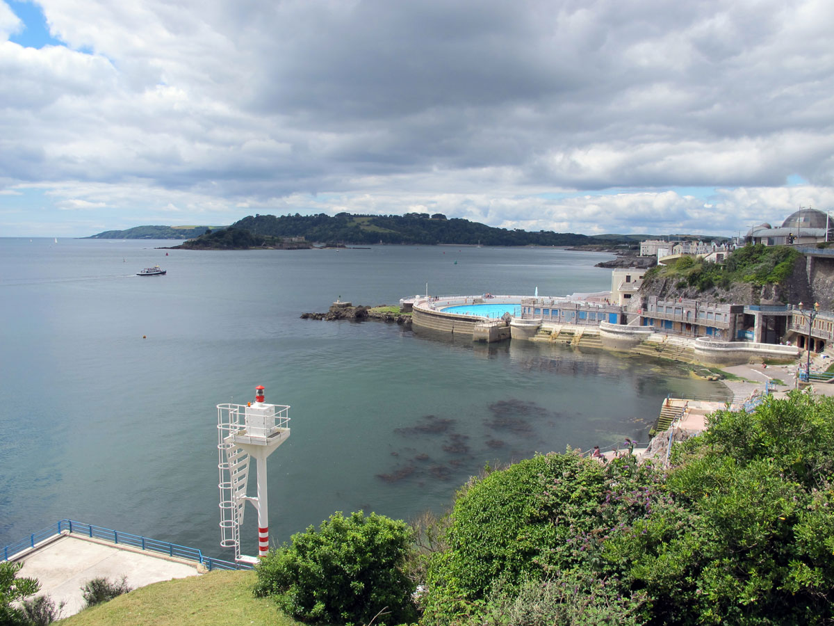
The question has to be asked – what is Plymouth Sound exactly? The easiest way to describe it is if you stand on Plymouth Hoe and look out to sea everything in front of you is Plymouth Sound, but there’s a bit more to it than that.
The word ‘Sound’ in the geographical sense is basically a body of water that is connected to the sea, but not all look the same. Many appear as fjords like Milford Sound in New Zealand, but others are more like straits such as Vineyard Sound in Massachusetts which separates the Elizabeth Islands from Martha’s Vineyard.
Plymouth Sound on the other hand, is basically where a number of fresh water rivers meet a deep water inlet of the sea. If you weren’t sure what a Sound was before, you’re probably more confused than ever now, but if you’ll allow me to briefly explain how these rivers end up in The Sound, it might all start to make a bit more sense.
With so many different areas of water in and around Plymouth you might wonder what you’re actually looking at, but I won’t describe them all, just the relevant ones. First of all, the River Tamar is the river that separates Devon and Cornwall, which you probably already knew, but as the river flows towards Plymouth, it’s joined by the River Tavy on the Devon side of the border and, after passing under the Tamar Bridges, by the Lynher River on the Cornish side.

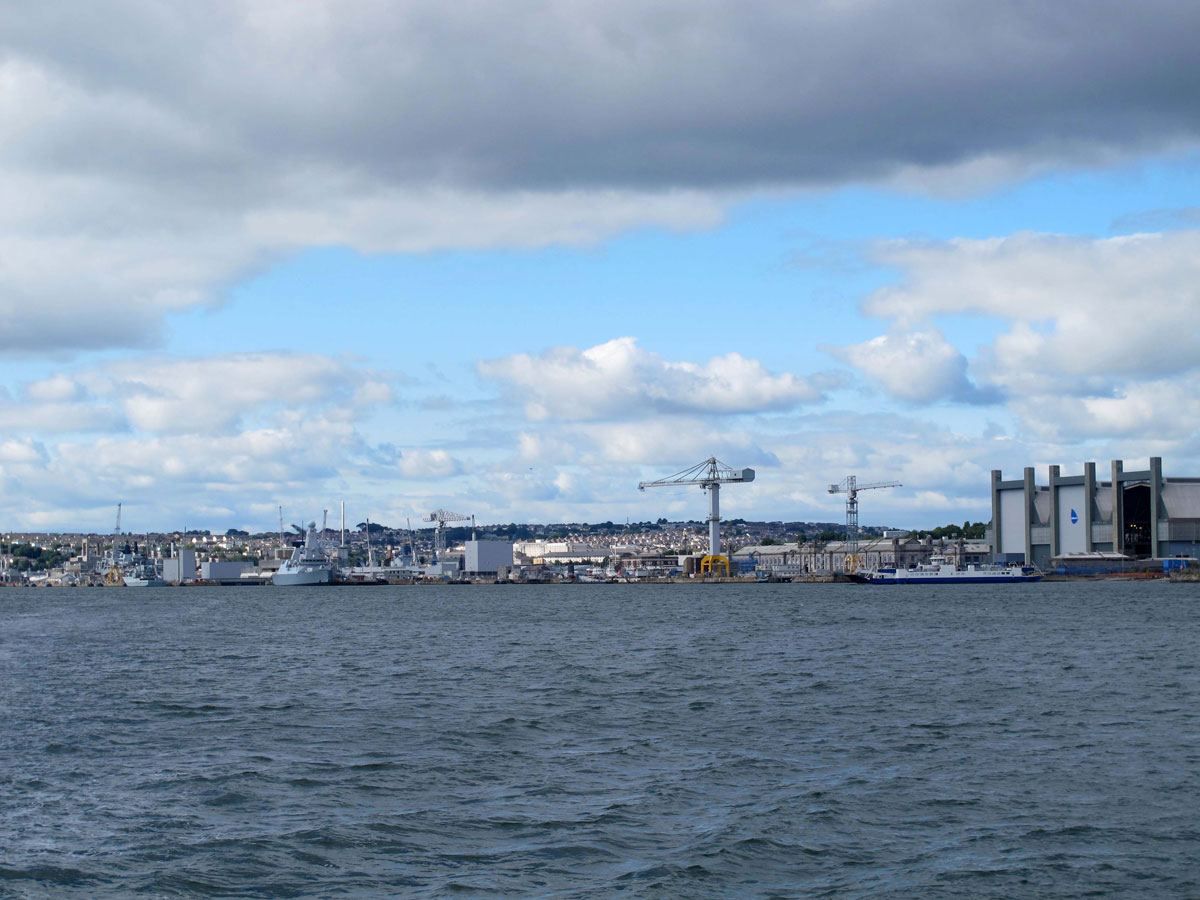
At the point where the Lynher flows into the Tamar, the body of water becomes known as the Hamoaze. The name doesn’t have any real significance but it’s the channel of water where Devonport Dockyard is located. I won’t describe the dockyard in any detail here as I intend to write a separate post about it.
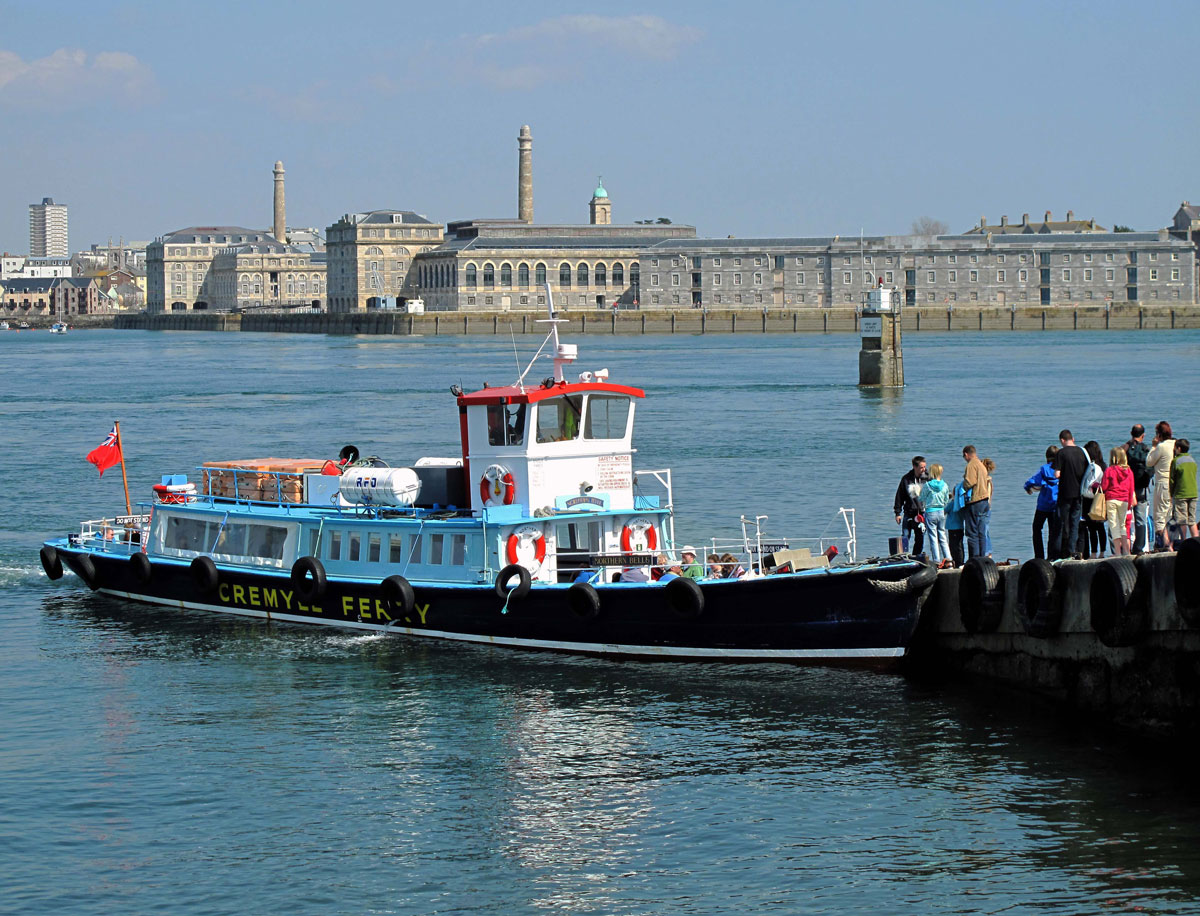
The Hamoaze is still technically the River Tamar, but as it travels through the channel that separates Devils Point on the Devon side of the river at Stonehouse and the Mount Edgumbe Estate on the Cornish side at Cremyll, it flows into Plymouth Sound, where it is joined by the River Plym on the other side of Plymouth Hoe.

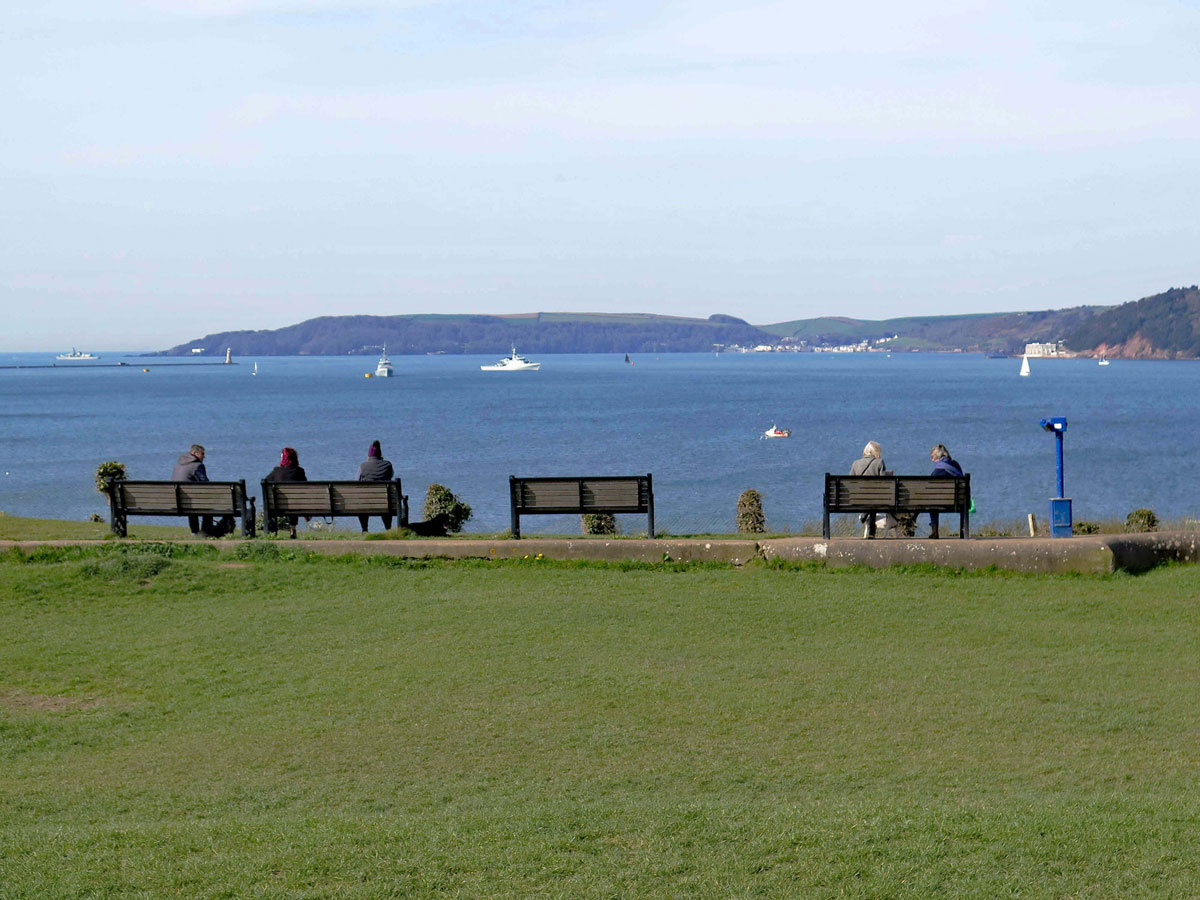
Looking out across the Sound from the Hoe, the area around Bovisand is to your left, and the Rame Peninsula in Cornwall is to your right. Just offshore, your eyes will be drawn to an island which should be a gem, but for many years was underused and neglected.
Early records show that in 1135 the island was named after the chapel of St Michael, but after it was re-dedicated to St. Nicholas, the island took on the chapel’s new name – and that was the official name for centuries.
During the reign of Henry VIII, the king’s falling out with Pope Clement VII over his divorce to Catherine of Aragon, led to tensions with Catholic France and Spain, and with the prospect of England being attacked, the strategic location of St Nicholas Island meant that it would inevitably become needed for defensive purposes. The first fortifications were added in 1550, but when Henry’s daughter, Elizabeth I succeeded him in 1558, the threats didn’t disappear, in fact if anything, they increased.
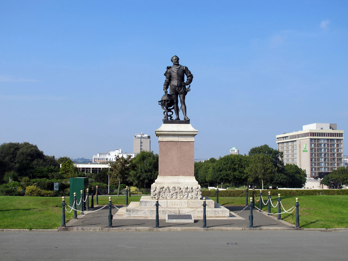
The new queen continued with her father’s Protestant reforms, and there was no love lost between the Queen of England and the Catholic King Philip of Spain, who just happened to be married to Elizabeth’s half-sister Mary. Not only that, Elizabeth was envious of Spain’s empire, and decided to enlist the services of a Plymouth privateer, Francis Drake, to relieve the Spanish of some of their ill-gotten gains. His exploits took him on a three year voyage around the world, and, contrary to popular belief, he was never made governor of the island on his return, but even so, it became known as Drake’s Island. As we know, after Singeing the King of Spain’s Beard at Cadiz in 1577, Drake helped defeat Philip’s Armada a year later after finishing his game of bowls on Plymouth Hoe. The name of St Nicholas Island was officially used right up until the early 1900s, but the name Drake’s Island is what Plymothians have always called it – and always will I reckon.
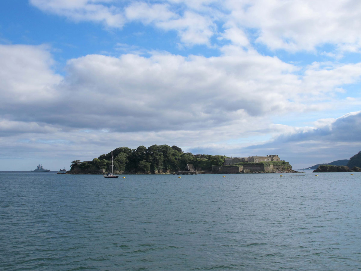
If the English weren’t fighting the French, Spanish or anybody else who got in their way, they were fighting amongst themselves, and during the Civil War, Drake’s Island was used as a prison for a couple of prominent Parliamentarians.
Robert Lilburne was one of the 59 Commissioners who signed Charles I’s death warrant, and with the Restoration of the Monarchy in 1660, was tried for regicide. Somehow, he managed to escape the sentence of being hanged, drawn and quartered, and spent the rest of his days on Drake’s Island where he died in 1665.
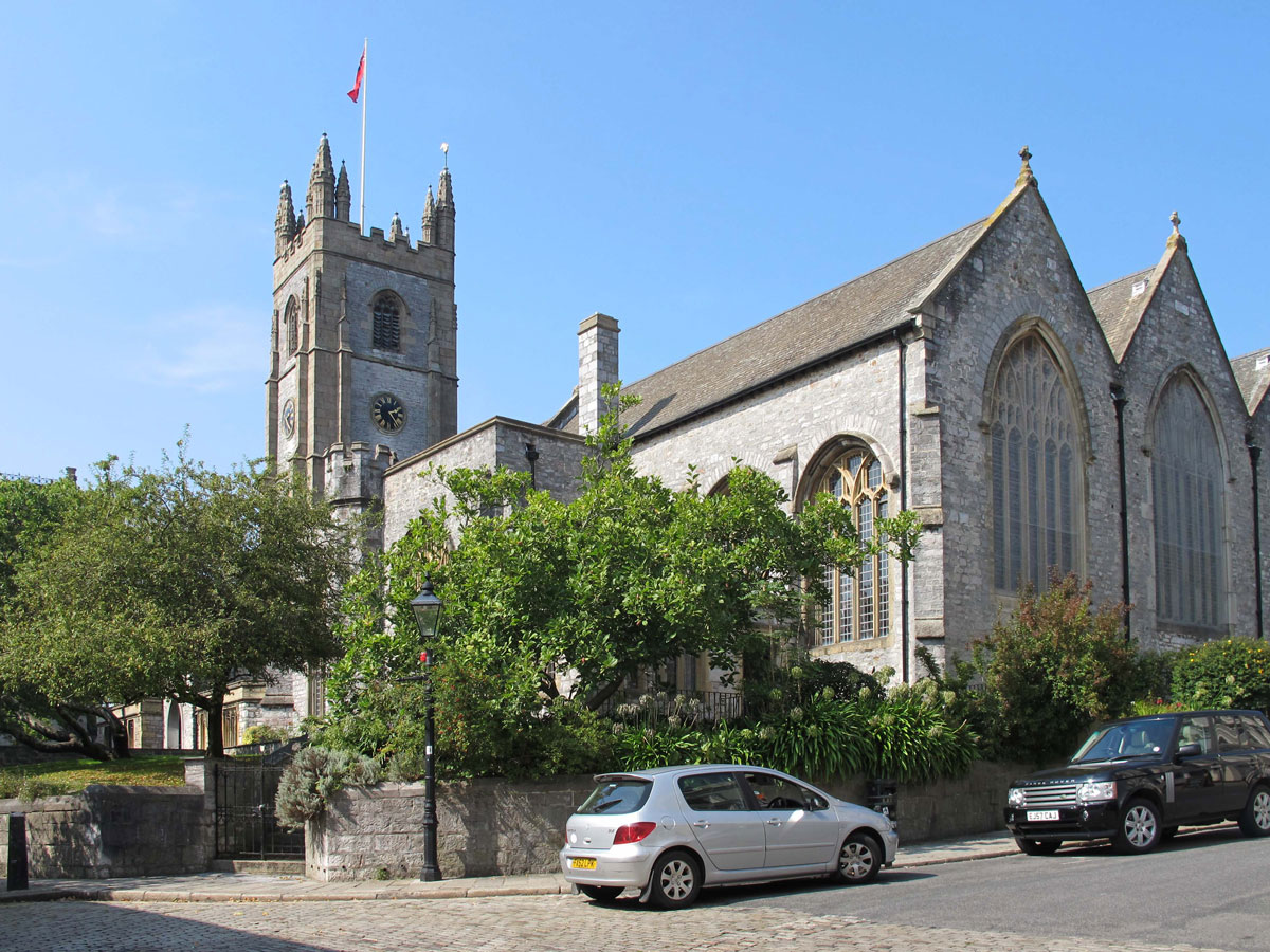
John Lambert was an even more influential Parliamentarian, and although he wasn’t involved in the decision to decapitate the king, he never supported the restoration after the collapse of the Commonwealth either. After finding himself on the losing side of the argument, he was thrown into the Tower, but managed to escape. Eventually, he was caught and imprisoned in Castle Cornet in Guernsey before being sent to Drake’s Island in 1667, where he died in 1684. Although his grave has been lost, he was buried in St Andrew’s Church, now known as the Minster Church of St Andrew.
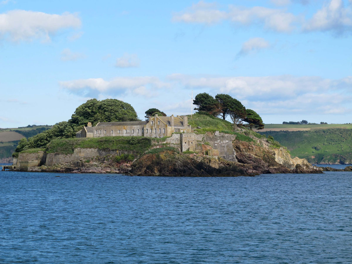
The 19th century saw Britain under threat from the French again. We thought we’d seen them off after Napoleon’s final defeat at Waterloo, but his nephew, Napoleon III, was flexing his muscles again in retaliation for the inglorious demise of French power. The incumbent Prime Minister, Lord Palmerston, set up a commission in 1859 to decide how best to deal with this new threat, and the answer came in the form of what came to be known as the Palmerston Forts.
Palmerston’s plan was to build a string of forts around the coastline that was most likely to be attacked – and that included the naval ports of Portsmouth and Plymouth. There were many heated debates in parliament as to whether the expense was justified, but in the end the Prime Minister won the day. I touched on this topic in my post about the Rame Peninsula, and as far as Plymouth was concerned, the defences basically comprised of a ring of forts around the Sound, and also inland to the north of the city. Included in the scheme was Drake’s Island, where improvements were made to an existing battery in the centre of the island and a new one at the south-western end.

The island remained under control of the War Office until 1963 when it was handed back to the Duchy of Cornwall. The following year it was leased to the Mayflower Trust who opened it as a youth adventure training centre, but in 1989 it was handed back to the Duchy who put it up for sale. The buyer was none other than Dan McCauley, the unpopular owner of Plymouth Argyle Football Club. Unsurprisingly, his attempts at turning the island into a hotel complex was as successful as his football team, and in 2019 he sold it to Morgan Philips, a local businessman and Royal Navy veteran who at last seems to be turning its fortunes around. Guided tours are now available and an education centre was set up in conjunction with the National Marine Aquarium. Future plans include turning the Governor’s Barracks into a shabby chic hotel and wedding venue, but the owner insists that he wants the island to become accessible to everyone.
Although Plymouth Sound is sheltered from the prevailing south-westerly winds, southern gales often caused havoc, and there are no prizes for guessing how Deadman’s Bay got its name. The number of ships that came to grief and the number of lives that were lost was huge, but at least the wrecks provided ‘Godsends’ for the locals.
In 1690 the Admiralty decided to make Plymouth Dock (now Devonport) a major naval base, and when war broke out with Napoleon in 1803, the need for a safe anchorage to protect the Channel Fleet became essential. After a lot of dithering about by the politicians (does that ring a bell to anybody?) work began on building a Breakwater in 1811, and this is what you can still see protecting Plymouth Sound today.
The two men that were responsible for its construction were the renowned civil engineer, John Rennie, and Joseph Whidbey, a man with an enormous amount of nautical and maritime experience. Between them they created a barrier with a main central section and a protective arm at each end.
Using the Panther, Shovell and St Carlos rocks as the line of construction, a quarry was opened at Orestone for the purpose of providing rock for the project: Railway trucks were loaded with the stone which were pulled by horses to the quayside and then loaded onto ships that took it to the site.
The objective of the Breakwater was achieved within a few years, but it took another 30 years to perfect, by which time some 4 million tons of stone had been used at a cost of £1.5 million (around £106 million today). No wonder it was called the “Great National Undertaking”. For the statisticians among you, you might like to know that the Breakwater is 1710 yards long, 43 feet wide at the top and 213 feet wide at the bottom.
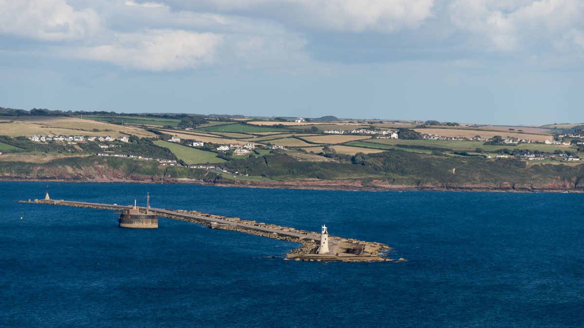
The structure did its job in creating a safe anchorage for ships inside the Breakwater, but the irony is that it also became a hazard for ships coming in from the other side. There had been a lightship stationed here since 1813 but it was insufficient to prevent ships getting wrecked on the Breakwater itself, and so it was obvious that a permanent lighthouse was needed.
In 1841 Trinity House (the body responsible for British lighthouses) employed the services of Messrs Burgess and Walker to construct a five storey lighthouse on the western end of the Breakwater. The 78ft high structure became operational in 1844 and included dining and sleeping accommodation as well as the light itself.
The light initially used oil burners, and in 1867 a bell was added to aid navigation in foggy conditions, but circumstances have naturally changed since then. The last keepers left in 1920 when it became fully automated, and in 1993 Trinity House passed the responsibility over to the Ministry of Defence. A year later an electronic foghorn replaced the bell, and today electronic sensors turn the quartz halogen bulbs on and off automatically.


With the Breakwater being almost a mile long, you would think wouldn’t you, that they would need a lighthouse at each end of it, and that was what was initially proposed, but there was one thing that got in the way – money, or should I say, the lack of it.
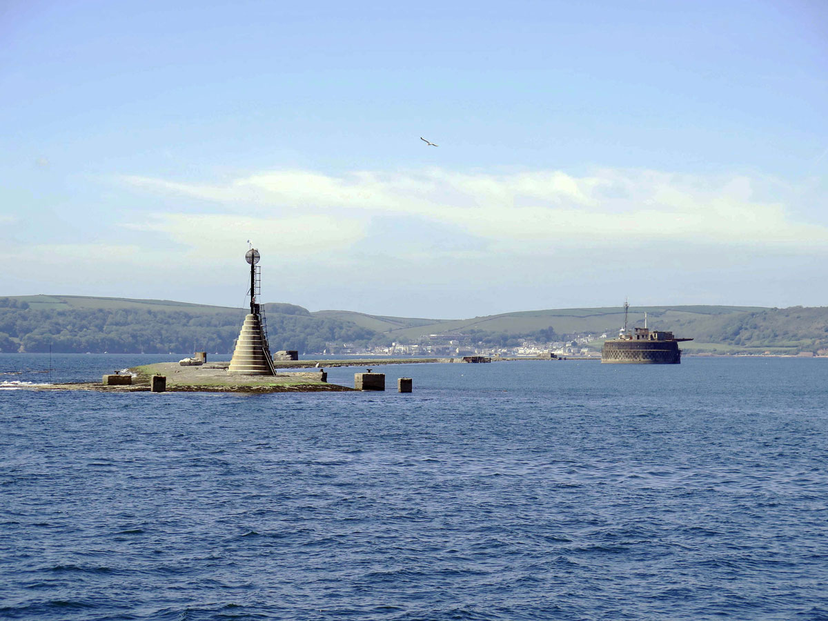
To be fair, the eastern channel isn’t as wide as the western one, and consequently not as important, and so it was decided to make do with a beacon instead. In 1845 a 25 ft high base with a17 ft oak pole was topped with a wrought iron globe. This globe wasn’t built to house a light, but to save men from drowning. It was capable of holding up to six people, but how many it actually saved I couldn’t tell you, and I reckon you would need to be pretty desperate to clamber up there in a gale, bearing in mind that there were only rings to hold on to back in the early days.

About half way along, and 35 yards or so inside the Breakwater, is one of Palmerston’s Forts. The foundations for Plymouth Breakwater Fort started being laid on Shovel Rock in 1861, but by the time it was completely ready for action in 1880, the threat from France had receded, and like all of Palmerston’s Follies (as they became known) was already obsolete.
In later years it was used as a signal station, an anti-aircraft training school, and finally a storage facility for the Bovisand Diving Centre. Today, both the fort and the Breakwater belong to the Ministry of Defence and landing is not permitted without official authorization.

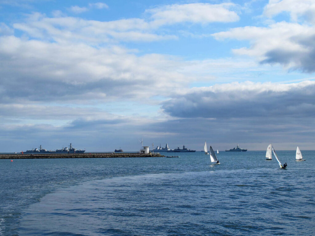
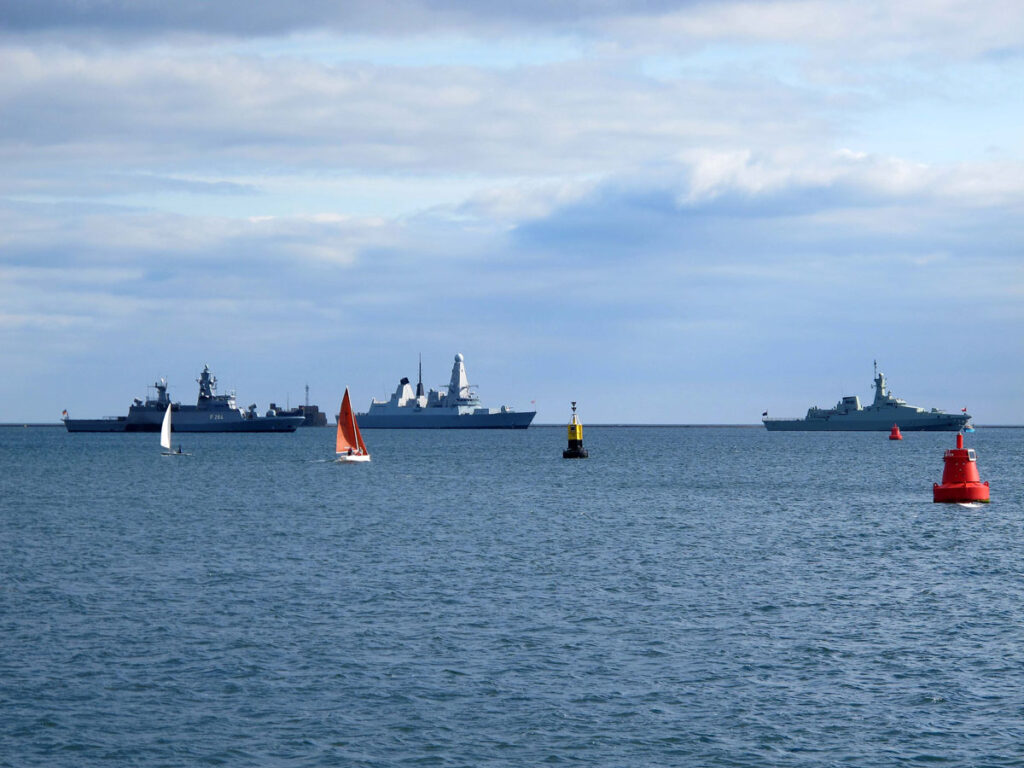
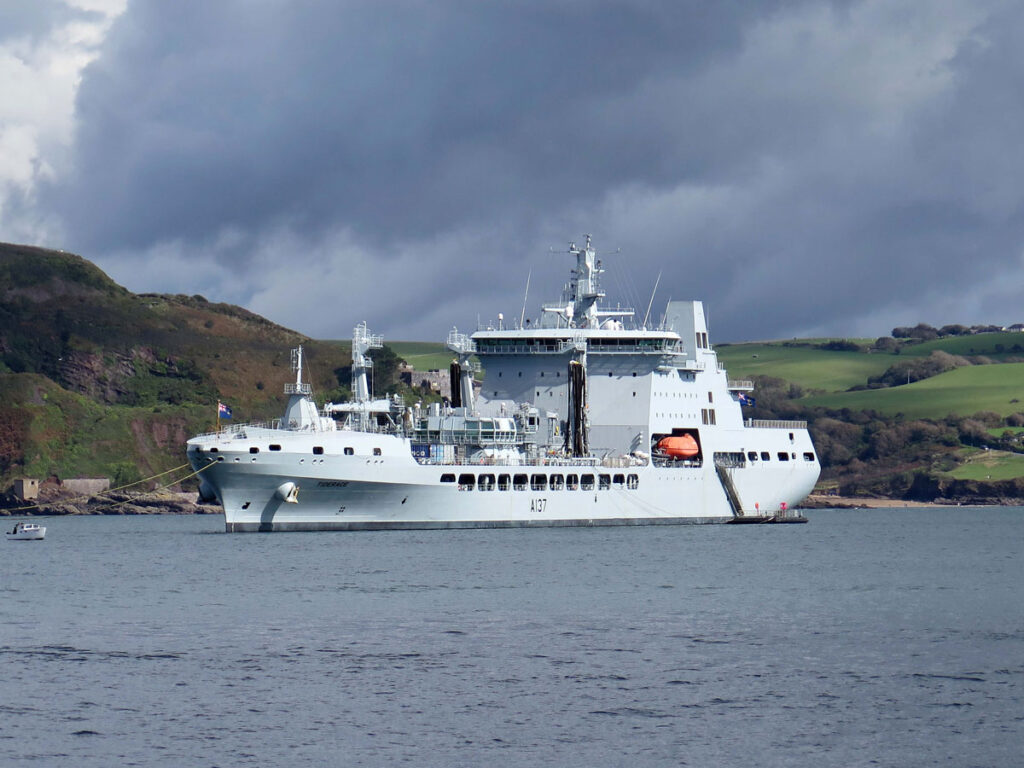
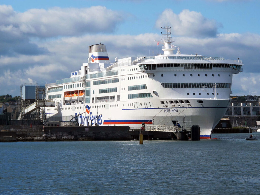
The Breakwater still provides a safe anchorage for the Devonport fleet and warships are regularly seen sailing in and out of the Sound or doing manoeuvres, but it also provides a safe haven for many other craft including ferries, fishing boats and pleasure craft.
One of the unforeseen consequences of building a Breakwater has been that, along with the remains of shipwrecks that lie at the bottom of the Sound, a man-made reef has inadvertently been created for an underwater aquarium, and as if to prove the point, in 2019 Plymouth Sound became home to the UK’s first National Marine Park. It promises to be a welcome addition to the city’s maritime history, but wouldn’t it be great if one day Plymouth Sound is remembered for harbouring sea creatures instead of warships.
POSTED – DECEMBER 2023
Originally posted 2023-12-10 18:55:21.
It sounds like Plymouth has a lot going for it, Malc. Other than the Drake connection I knew very little about it. A marine park would be a wonderful addition.
Plymouth suffered a lot of damage during the war and what the Luftwaffe didn’t achieve, the city planners did. The city centre isn’t all bad by any means, but the waterfront is what it’s really all about.
I thought I knew a little bit about Plymouth (I did some work for the council a few years back) but I’ve learned a load more from this post Malcolm – as thorough as always! I never knew there were quite so many Palmerston forts there, for instance, nor about the Marine Park – that sounds like an interesting development.
As you well know Sarah, local knowledge can be invaluable to anyone who isn’t quite as conversant with a place as yourself. Thanks, as always for commenting. 🙂
That’s a lot of different waters colliding at Plymouth Sound, isn’t it? Well, I’d known of the place but knew next to nothing about it until now, and that’s thanks to this informative and engaging post, Malc. And what a rich past it has too. I particularly enjoyed the history of Drake’s Island, although I kind of prefer it’s previous moniker, named as it was after St Nick himself. An interesting video, but you won’t be surprised to know that the bit I liked best was the wonderful wildlife and nature, so I hope the developers are good to their word on their commitment to preserve it. Like you, I’d much rather Plymouth Sound was famed for it’s rich and diverse marine wildlife than it’s many human interferences. Still, it looks an amazing place, and there’s clearly so much more to it than meets the eye. 🙂
I know that you’ve been to Portsmouth a few times Alli, and many people get confused between Portsmouth and Plymouth because of their Naval connections. I would say that Portsmouth has more attractions, but Plymouth has the better coastline. The problem is, that whether we like it or not, our country needs a strong defence, and the navy is still an important part of that. I hope that puts things into some sort of perspective between the two ports Alli and, as always, thanks for your invaluable input 🙂
Ah yes, that’s interesting to compare it with Portsmouth, which I know pretty well now after the many trips I’ve made there with Maddie over the past six years – including this summer of course, when she went sailing with the Tall Ships Youth Trust. I’d like to go to Plymouth too now though! 🙂
Just as a matter of interest Alli, as I said to Joanna, this is my 6th post about Plymouth and my previous 5 didn’t appear to get much attention if the comments are anything to go by, so if you ever did find yourself coming here, then a quick look back at those earlier posts would give you a better understanding of the city. I’m sure Maddie would enjoy the choice of boat trips that are available from the Barbican, and there’ll be more Plymouth posts to come in due course 😊
Duly noted, Malc. 🙂 When we do get down there, I’d rather gen up on the area by reading your posts than bothering with any tourist information guide. A far better way to research the place. A visit may well happen too, as we’re currently looking at taking a few shorter breaks in different locations over the next few years rather than a single, long holiday in one place. That’s largely because of the sycamore’s devastation in Northumberland, although we’ll always go back there as it’s still our favourite county. We’re just not feeling able to go next year – it’s too soon.
Ah! That’s a lovely thing to say Alli. It would be great to see you down in my part of the world – even if it is at Northumberland’s expense.
It’d be so good to finally get together, especially in such beautiful surroundings as your neck of the woods. 🙂
Fingers crossed then🤞🙂
🤞
Once again you excel at bringing the past to life in the most acessible , readable way.
Thanks again Shey, and I hope you’re beginning to see that Plymouth isn’t quite as small as you first thought 🙂
Yeah. You know I was quite astonished to see the size.
It’s the largest city in Devon and quite a bit bigger than Dundee, and even larger than Aberdeen
Every time, Malc, I read one of your erudite posts, two thoughts come to mind; how I wish you were my history teacher, and how less ignorant I would be!
This fascinating post has all the historical details that make for interesting reading, and necessary at least for me,
explanation of you post’s title. And you were spot on, Malc, about the confusion!
The story of the all important island, now known Drake’s Island, although not officially, had me spell bound!
I love Sir Francis Drake’s monument on Plymouth Hoe, and those legs!
The photographs, your own, Malc, are of highest professional standard, and add so much to our appreciation of the post. I am just describing my feelings, as I have no knowledge what is involved in being as good as you are.
I am looking forward to reading more of your Plymouth series!
Joanna
Your lovely kind words are always greatly appreciated Joanna, but as I’ve told you before, I really don’t desrve them. That said, it’s good to know that you enjoy reading them, and that’s always good enough for me. I’ve just checked back and this is my sixth post on Plymouth and there are still more in the pipeline, but I do like to break things up a bit, especially where my West Country posts are concerned.
And as I told you before, Malc, you deserve all the praise you get! You are worth it!
Joanna
Ah! Thank you!
You are more than welcome, Malc!
It is a wonderful travelogue for sure Malc, and interesting history. All the best to you!
Cheers Francesc. Apologies about the reference to ‘Singeing the King of Spain’s Beard’ 🙂
Hehehe… you’re very welcome Malc! Top of the morning to you! 🌞
Have a good week Francesc
Thank you Malc! And a good one to you too. I will be in Barcelona for the gallery show this week, that is why I have not been as attentive to the blog postings as usual but I will be back by end of week and back to normal. I am glad to be visiting Barcelona as it is one of my favourite cities and I’ve many friends and family there. Take good care.
Brill!. I see that Girona have gone top of the league
Wonderful historical summary and arm chair travelogue,Malc.
Thank you Pat.I really appreciate your kind words
Very welcome, Malc.
It is an excellent piece, beautifully presented. Great job Easymalc. I am so fortunate to have visited the other two sounds referred to, Milford Sound and Vineyard Sound, both wholly different. As a very regular visitor to Devon I have been impressed by the improvements year on year to Plymouth (and to Exeter as well). Its Sound is not an attraction set in a vacuum, but with the National Aquarium, the University Campus, the Barbican, Brunel’s Bridge and out-of-town Saltram (National Trust), and of course its museum offerings, the city now has something to offer everyone. But there is a timelessness about the Sound and the properties which line its shores, which is well represented here. Well done..
Thank you Adrian for your very kind words You’re indeed fortunate to have visited all three Sounds that I mentioned and as for Plymouth, you’re right to say that it has been slowly changing. Being a Naval Port, there will always be areas that will take time to change, but the Royal William Yard has already seen some major improvements. I suspect you know that, but I’ll be covering it in another post at some point.
The only thing that stands out for me on a visit to Plymouth was climbing the stairs in the lighthouse, grand view of the harbour. Interesting facts regarding the sound, Malc.
I think most people will remember the lighthouse on the Hoe Suzanne, which used to stand on the Eddystone Rocks 12 miles out to sea if you didn’t already know. I hope the post brought back some more memories.
It did 🙂
Thanks Eunice. The buildings you’re referring to are in the Royal William Yard at Stonehouse and I’ll be explaing what they are in another post. Now you know why I don’t have time to locate all the postbox pictures 🙂
A very ‘sound’ post with great photos Malc, interesting and informative as usual and I like the video at the end. The buildings in the background of the shot of Cremyll ferry remind me very much of buildings on one of the islands in the Venice lagoon.