Exploring the Firth of Clyde - Pt 1 The Isle of Bute
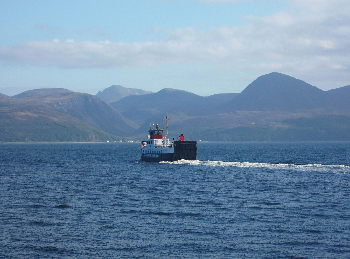
Back in 2007 we decided to fly up to Glasgow for a short break around the Firth of Clyde. It’s probably not the first place that springs to mind when people think of coming to see the wonderful Scottish scenery, but even if you’re one of those people who think of it as ‘Glasgow by the Sea’, then in the next couple of posts I’m going to try and show you that there’s more to it than that.
The Firth of Clyde covers an area between the mouth of the River Clyde and the North Channel (the bit of water that separates South-Western Scotland from Northern Ireland). Obviously, it would be impossible to cover the whole area during a short break, and so we decided to give the Ayrshire coast a miss in favour of exploring the islands of Bute and Arran, and in this first post I’m going to give a brief description of the firth before moving on to the Isle of Bute.
If you’re not sure where the Firth of Clyde begins, or even what a firth is, you won’t be on your own. In actual fact there are three parts to the Clyde – the river, the estuary and the firth. The river is the freshwater course that runs from its source in the Lowther Hills to Glasgow Green, which is the highest point at which the river is tidal. Beyond the weir the river becomes an estuary with a mixture of both fresh and salt water, and the nearer to the sea it gets, the saltier it becomes. You’ve probably already guessed by now (if you didn’t already know) that at the point where it becomes just salt water is where the firth begins, and on the Clyde it’s at Greenock near the mouth of the river. Although it’s open to debate, the general consensus of opinion is that this occurs around the Tail of the Bank, which is where the estuary’s sandbanks give way to deeper water.
On the northern side of the estuary, the Roseneath Peninsula separates two sea lochs, Gare Loch (home of the UK’s nuclear submarines at Faslane) and Loch Long, which join up with the Clyde to form the (Upper) Firth of Clyde.
If you want to learn more about the Clyde from source to sea, you can read about it here.
Continue reading →
Originally posted 2023-06-25 09:23:34.