The Gentrification of Stokes Croft
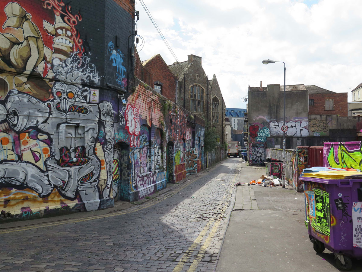
The Stokes Croft world is a very different one to mine – but it’s changing, and I think now is as good a time as any to find out more about the area known locally as The People’s Republic of Stokes Croft.
Stokes Croft, for those who don’t know it, is a relatively short stretch of road that forms part of the A38 trunk road from Gloucester as it comes into Bristol city centre, but to most Bristolians it also includes a small number of streets on either side of it.
Sandwiched between the relatively affluent Kingsdown and the African-Caribbean community of St Pauls, the area does not have an official boundary, but the map below shows what’s included within the ‘Cultural Boundary’ as featured on the People’s Republic of Stokes Croft (PRSC) website.
The problem with anywhere that sits on a boundary line is that it has no official identity of its own.
Originally posted 2019-06-30 15:58:57.