Tag Archives: Countryside

Looking for a Glimmer of Sunshine in County Derry

Looking for a Glimmer of Sunshine in County Derry

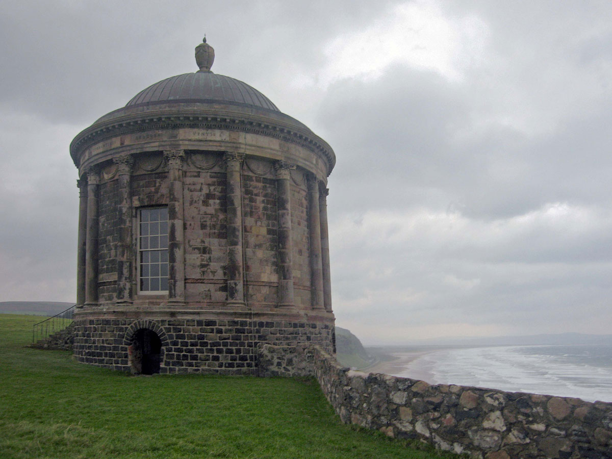
County Derry/Londonderry is one of the original six counties of Northern Ireland, and although the administrative boundaries have changed since then, County Londonderry still remains. As I’ve mentioned before, Londonderry is still the official name used by the UK government, but as the county now has a majority Catholic population (61.3% in 2021), I’m ging to refer to it as County Derry – at least for the purposes of this post.

I have to admit that my main reason for coming to Derry was to find out why the city played such an important part in The Troubles, but I couldn’t possibly leave without exploring some of the countryside and coastline as well, and so I set aside a full day to drive around the county, with the hope of finding another side to this part of Ulster.

If you’ve been following my previous posts, you couldn’t have failed to notice that the weather’s been pretty grim the whole time I’ve been here, but I was hoping for at least a few rays of sunshine for my drive around the county today, but when I woke up, I didn’t need to draw back the curtains to see what the weather was doing – I could hear it. The rain was beating down so hard that anybody who had half a brain would have called the whole thing off, but a), after breakfast it started to ease off a bit, and b) I haven’t even got half a brain, so with no better option to consider, I drove off into the gloom.

I left the city via the A6 and made my first stop at Burntollet Bridge (see Dirt Beneath the Carpet). At Killaloo I then took the B74 to Claudy where there was a memorial dedicated to 9 innocent victims of an IRA bomb attack in July 1972. I was well aware that I would be passing through places today that would have witnessed atrocities during those turbulent times, but although I wouldn’t go out of my way to avoid them, my mission today was to try and find another side of life here where possible, and so after a brief stop I continued on my way towards Feeny where I took a lonely road across the Sperrin Mountains. I’m sure on a nice day the scenery here would look lovely, but today was not a nice day and it all looked very bleak. Not only was it lonely, it was so dark that it was as if I was experiencing a total eclipse of the sun.

Continue reading

Originally posted 2025-04-28 15:26:35.

Glen Etive

Glen Etive

People who visit Glen Coe for the first time will invariably miss a small turning opposite the Kingshouse Hotel, and even if they knew it was there would probably give it a miss anyway, because this narrow single track road comes to a dead end after 14 miles, which means that you have to turn around and come all the way back – so why bother?

The answer is simple – the breathtaking scenery makes it, in my humble opinion, one of the best short scenic drives in Scotland.

As with all scenic drives, it’s best done outside of the peak holiday season. Fans of James Bond come here to see where some of ‘Skyfall’ was filmed, and it’s also popular with kayakers – and of course, climbers and hillwalkers.

Fortunately, when I drove down here one winter’s day, apart from one notable exception, we never saw a soul.

Several streams provide the River Etive with its source on Rannoch Moor, but for most people their acquaintance with it starts at Buachaille Etive Mor, the pyramid shaped mountain at the top of the glen.

The road follows the river down through the valley, at first underneath Buachaille Etive Mor, and then Stob Dubh before widening out as it flows into the head of Loch Etive.  Continue reading

Originally posted 2019-11-22 17:37:13.

Hadrian’s Wall through Northumberland

Hadrian's Wall through Northumberland

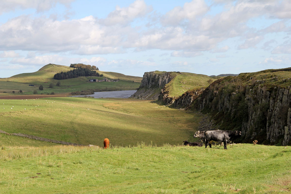
This blog is not intended to be an in-depth historical account of the most important Roman monument in Britain, but if, like me, you have an interest, but not a degree in Roman history, and want to explore some of the more fascinating parts of this remarkable feat of engineering, then perhaps this tour will be a good starting point.

To put things in perspective, Hadrian’s Wall marks the extent of the Roman Empire in North-Western Europe, but unlike most of the other Roman borders, which used natural features, a man-made structure was needed to protect Roman Britannia from the ‘barbarians of Caledonia’.

Work started on building the wall in 122 AD and finished 10 years later. It ran for 73 miles (80 Roman miles) between Wallsend-on-Tyne and Bowness-on-Solway and did what it was meant to do for nigh on the next 300 years.

The wall also consisted of protected gates every mile (known as milecastles) with two observation towers in between (turrets), and at least 13 forts (the exact number depends on different factors).

Those people who walk the entire Hadrian’s Wall Path will get to know it intimately, but for those who can’t or don’t want to, then it has to be worth knowing where to start.

I think even the experts would agree that the Northumberland section of the wall offers the most interest, and for this post this will be the area I’m going to cover.

Continue reading

Originally posted 2019-08-02 05:06:53.

The Somerset Levels

The Somerset Levels

It might surprise some people to learn that one of my favourite areas of the West Country is the Somerset Levels – that flat, wet landscape between the Mendip, Blackdown and Quantock Hills which people tend to ignore on their way to somewhere else.

Come to think of it, that’s probably one of the reasons I like it so much, but there’s more to it than that. Metaphorically speaking, the more you dig under its surface, the more you’re likely to discover – not just about the life and history of the Somerset Levels – but more about yourself as well. It’s a land that time has largely passed by and the perfect antidote to today’s modern stressful living: It’s also a land that is full of character and characters, myths & legends and somewhere that is completely at one with nature.

So how have the Somerset Levels and Moors (to give it the proper name) developed into the place it has: The answer is water – or rather, the control of it.

The general height of the land is just 3-4 metres (10-12 ft) above mean sea level, which when you consider that tides in Bridgwater Bay have peaked at over 25 ft, you can imagine what sort of problems can be created if they’re not managed properly.

After the last ice age this landscape was covered by the sea most of the time and punctuated by the odd island here and there: Glastonbury Tor is the most famous, but there are others such as Burrow Mump and Brent Knoll: In the drier months when the water subsided, the fertile grasslands were accessed from these islands on wooden tracks by people to an area the Saxons referred to as Sumorsaete, or “Land of the Summer People”.

Continue reading

Originally posted 2019-11-06 15:48:35.

St. Nectan’s Glen

St. Nectan's Glen

A Magical, Mystical Valley in North Cornwall

We’re now at that time of year when everyone, it seems, is travelling around – everyone, that is, except me.

I’m not a great one for heading off into the summer traffic, but for anyone who has little choice, and prefers somewhere peaceful, perhaps St. Nectan’s Glen may just be the place for you.

Many people travel down to Cornwall for a summer break, and quite a few beat a path to Tintagel. It’s easy to see why; it has a magnificent coastline and a castle that lures people who have a fascination for King Arthur.

The town is a bit too touristy for my liking, but just a 5 minute drive out of town along the road to Boscastle is a car park where you can leave the car behind, and head up through St. Nectan’s Glen to somewhere that is so magical that it could easily be home to Merlin himself.

Continue reading

Originally posted 2019-07-25 15:58:50.

Iddesleigh and the War Horse Story

Iddesleigh and the War Horse Story

Iddesleigh is one of those delightful little cob and thatch villages that lies hidden amongst the rolling hills of the West Devon countryside.

It’s not somewhere that you just stumble across, and even in this modern age where everywhere is near somewhere, thanks to the ever-increasing ability of motorists to seek out the most obscure places, it still takes a bit of finding – but it’s worth the effort.

The home of less than 200 people, Iddesleigh has a church and a pub but not much else, and were it not for a nearby farm I don’t suppose too many people would bother to seek it out at all.

Between 1830 and 1836 Parsonage Farm was the home of the Reverend ‘Jack’ Russell, the curate of St James’ Church. He was the first breeder of the terriers to which he gave his name, but this isn’t the reason why people come to take a look around the farm. They come here to find out more about another animal – Joey the War Horse.

Continue reading

Originally posted 2018-11-10 09:15:16.