Category Archives: Western Scotland and the Inner Hebrides

The Applecross Peninsula

The Applecross Peninsula

Situated between the Torridon Hills and the Isle of Raasay, the Applecross Peninsula isn’t the easiest place to get to but getting here is all part of the enjoyment.

As long as you don’t have a large motorhome or caravan, the scenic route will take you over the infamous Bealach na Ba (Pass of the Cattle) from Tornapress near Loch Kishorn to Applecross village. This road, which was built in 1822, climbs over 2,000ft in 5 miles around hairpin bends before descending into the village and is frequently cut off by snow in the winter months, just as it was for us in March 2016.

The alternative option involves taking the coastal route via Shieldaig, which obviously takes longer, but if you had come here before the 1970’s it wouldn’t have even been an option at all, and at least it gives you the opportunity to visit the picturesque village of Shieldaig.

Continue reading →

Originally posted 2018-07-18 10:21:54.
Glen Affric

Glen Affric

People who know Glen Affric better than I do often describe it as the most beautiful glen in Scotland, which is quite a bold statement to say the least, but even though it was a bit out of the way to get to, I was interested to find out if it was worthy of that accolade and whether it was worth the effort to find.

The glen is reached via the small village of Cannich, which is just under an hour by car from Inverness; and from there a minor road follows the glen for another 11 miles or so to a car park located between Loch Beinn a’ Mheadhoin and Loch Affric, and is as far as you’re allowed to drive. It’s a convenient place to park up though for anyone wishing to don their walking boots and continue to follow the glen towards the magnificent mountains of Kintail, the source of the River Affric.

Continue reading →

The Island of Raasay

The Island of Raasay

According to Wikipedia, Scotland has over 790 offshore islands; Whoever put their head above the parapet to make that claim must have been having sleep problems, but I’ll take their word for it.

Some are small, some are large, some are well-known, and some not so well known – so which islands to visit can also cause a lack of sleep if you let it.

Raasay (meaning Isle of the Roe Deer), is 14 miles long and up to 5 miles wide, which means that it’s not too small and not too big, but it’s not too well-known either. Lying between the Isle of Skye and the Applecross Peninsula, it can be reached by ferry from Sconser on the Isle of Skye and takes around 25 minutes.

For this blog I’m going back in time to 2008 when the ferry landed at East Suisnish, but apart from a new ferry terminal on the other side of the bay, I can’t imagine things would have changed very much.

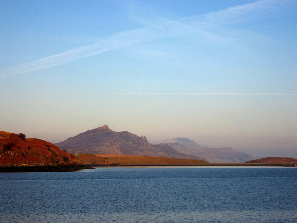
Skye is an undeniably beautiful island, and looking across the Sound towards Raasay you could be forgiven for thinking that there’s not much point in catching the ferry over to Raasay, which in comparison, doesn’t look anywhere near as inviting as the Cuillins or the Quiraing, but there are reasons why you might want to think again.

Firstly, in recent years Skye has seen a surge in visitor numbers, which if you were coming to the Scottish Islands for an away from it all break, then you might feel a bit cheated if you’ve chosen a busy time to come. Raasay is much more peaceful.

Another reason is that the views from Raasay towards Skye can be quite breathtaking – and of course, there’s the appeal of the island itself.

Continue reading →

Originally posted 2019-07-20 09:35:31.

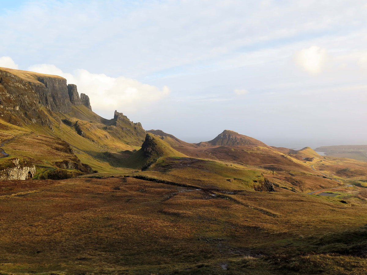
A Drive Around Skye’s Trotternish Peninsula

A Drive Around Skye's Trotternish Peninsula

I’ve often found travelling to places that I’ve always wanted to go a risky business because my imagination, and the real time experience, doesn’t always match up, but my first visit to the magical Isle of Skye in 1983 was the complete opposite – and one of the reasons why the island exceeded my expectations was the wonderful Trotternish Peninsula.

That first journey to Skye involved a 600-mile journey from the West Country in a rusty old Fiat Mirafiore: There were no cheap flights then, and there was no Skye Bridge either – it was ‘Over the Sea to Skye’ by ferry from the Kyle of Lochalsh. The toll-free bridge has made the island far more accessible now, not just for me, but for everyone else too, so it makes sense to come out of season if possible when there are fewer people around and the only difference in the weather is that the rain is a bit colder.

Continue reading →

Originally posted 2020-05-24 08:40:35.

The Road to Skye

The Road to Skye

There are two main roads that lead to Skye – the A830 to Mallaig (which involves catching the ferry to Armadale), and the A87 to the Skye Bridge, which is the route I’ll be covering here.

The A87 begins at Invergarry near to Loch Oich in the Great Glen and continues for another 99 miles to Uig on Skye, where you can catch the ferry out to Harris on the Outer Hebrides. The section between Invergarry and the Skye Bridge is about half that distance and takes around an hour without stops – but I’ll eat my Tam O’Shanter if you manage to do it without stopping. Better still, why not let me face the elements, and carry you away towards the Misty Isle, while you sit back with a wee dram and enjoy the scenery from the comfort of your armchair.

Continue reading →

Originally posted 2022-01-10 16:41:27.

Glen Etive

Glen Etive

People who visit Glen Coe for the first time will invariably miss a small turning opposite the Kingshouse Hotel, and even if they knew it was there would probably give it a miss anyway, because this narrow single track road comes to a dead end after 14 miles, which means that you have to turn around and come all the way back – so why bother?

The answer is simple – the breathtaking scenery makes it, in my humble opinion, one of the best short scenic drives in Scotland.

As with all scenic drives, it’s best done outside of the peak holiday season. Fans of James Bond come here to see where some of ‘Skyfall’ was filmed, and it’s also popular with kayakers – and of course, climbers and hillwalkers.

Fortunately, when I drove down here one winter’s day, apart from one notable exception, we never saw a soul.

Several streams provide the River Etive with its source on Rannoch Moor, but for most people their acquaintance with it starts at Buachaille Etive Mor, the pyramid shaped mountain at the top of the glen.

The road follows the river down through the valley, at first underneath Buachaille Etive Mor, and then Stob Dubh before widening out as it flows into the head of Loch Etive.  Continue reading →

Originally posted 2019-11-22 17:37:13.

Glen Coe

Glen Coe

Hemmed in by the Anoach Eagach ridge and Bidean Nam Bian, Glen Coe is a spectacular mountain pass that rises up from the shores of Loch Leven through the ‘Weeping Glen’ where mountain tops are often covered in snow and shrouded in mist, and up to wild Rannoch Moor whose dark brooding skies drop copious amounts of rainfall onto an already waterlogged, desolate plateau: In winter this precipitation can fall as snow, and the bogs and lakes turn the terrain into a cold and icy landscape.

It would be impossible to exaggerate the stark beauty and grandeur of the scenery, and my words and photographs can’t possibly do it justice, but it’s not just the skies that can give a bleak picture, it’s the glen’s history too – most notably, that of the Glencoe Massacre.

Lying under the Pap of Glencoe and near to the shores of Loch Leven is the tiny village of Glencoe, where you can find a monument to the massacre, which was not as straightforward as some would have us believe, but it was an unwarranted massacre nonetheless.

Continue reading →

Originally posted 2019-11-19 14:45:54.

The Treshnish Isles and Staffa

The Treshnish Isles and Staffa

When I was growing up, water and me didn’t mix. From being badly scolded with boiling hot water to needing artificial insemination respiration, it’s no wonder I never became a Mark Spitz or Michael Phelps, but even though it’s nearly killed me, as we all know, water is the staff of life, and whenever I get the opportunity, I like to be out on a boat. Not mine I hasten to add because I just wouldn’t be safe being in charge of one. I’m no Captain Cook, more like a Captain Pugwash.

Fortunately, we were in a safe pair of hands when we left Ulva Ferry for the Treshnish Isles, a small group of uninhabited islands off Mull’s West Coast in Scotland’s Inner Hebrides. There’s not a lot to say about the Treshnish Isles except that they’re made up of a number of skerries and around eight larger islands, the largest being Lunga – our destination, and instead of waffling on, I’m just going to leave you with a gallery of pictures that, even on an inclement day, will show you why we thought it was worth the lumpy boat ride out here.

Continue reading →

Originally posted 2024-01-11 16:26:12.

Kilmartin Glen – Land of History and Mystery

Kilmartin Glen - Land of History and Mystery

Lying just to the north of Knapdale in Argyll is Kilmartin Glen, one of the most enigmatic areas of Scotland. The valley contains a rich collection of historic and prehistoric monuments that include ancient burial grounds, standing stones and even rock carvings. Individually, these monuments may not have the same visual impact as the Callanish Standing Stones on Lewis or the Ring of Brodgar on Orkney perhaps, but collectively, they make up the most important concentration of Neolithic and Bronze Age remains in mainland Scotland.

There are at least 350 ancient monuments within a six mile radius of Kilmartin village, and some sources claim that there are as many as 800. As I have no intention of traipsing through the valley with a clipboard checking out what the true figure is, I’ll just say that there are lots of them.

Not all of these ancient monuments are prehistoric by any means, and in amongst the cairns and carvings is Dunadd. Rising from the morass of the Moine Mhòr, this hillfort was one of the most important sites in the Gaelic kingdom of Dál Riata, so come on a journey back in time to a place that I hope will intrigue you as much as it does me.

Continue reading →

Originally posted 2022-06-05 13:36:42.

Exploring the Firth of Clyde – Pt 2 The Isle of Arran

Exploring the Firth of Clyde - Pt 2 The Isle of Arran

According to Wikipedia, Scotland has somewhere in the region of 790 offshore islands, with 89 of those being permanently inhabited. I’ve visited a fair few, but it would take a lifetime to see them all, and believe me, when I say no two are the same. This morning we’re leaving the Isle of Bute for the Isle of Arran, the largest island in the Firth of Clyde, and the seventh largest (by area) in Scotland.

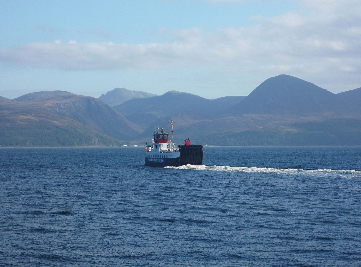
We checked out of the Chandlers watching Robin still being run ragged by the Treacherous Trio and headed for the first of three ferries to get us there. After driving through Rothesay and Port Bannatyne, we arrived just in time to see the ferry leaving Rhubodach for Colintrave on the Cowal Peninsula. We weren’t the least bit bothered, as the journey only takes five minutes and is one of the shortest ferry crossings in Scotland: In fact, there have been calls for it to be replaced with a bridge.

The next part of our journey involved driving up around Loch Riddon and the Kyles of Bute towards the next CalMac ferry departure point at Portavadie: The Kyles of Bute incidentally, are the channels of water that separate Bute from the Cowal Peninsula.

Continue reading →

Originally posted 2023-07-08 08:47:50.

Exploring the Firth of Clyde – Pt 1 The Isle of Bute

Exploring the Firth of Clyde - Pt 1 The Isle of Bute

Back in 2007 we decided to fly up to Glasgow for a short break around the Firth of Clyde. It’s probably not the first place that springs to mind when people think of coming to see the wonderful Scottish scenery, but even if you’re one of those people who think of it as ‘Glasgow by the Sea’, then in the next couple of posts I’m going to try and show you that there’s more to it than that.

The Firth of Clyde covers an area between the mouth of the River Clyde and the North Channel (the bit of water that separates South-Western Scotland from Northern Ireland). Obviously, it would be impossible to cover the whole area during a short break, and so we decided to give the Ayrshire coast a miss in favour of exploring the islands of Bute and Arran, and in this first post I’m going to give a brief description of the firth before moving on to the Isle of Bute.

If you’re not sure where the Firth of Clyde begins, or even what a firth is, you won’t be on your own. In actual fact there are three parts to the Clyde – the river, the estuary and the firth. The river is the freshwater course that runs from its source in the Lowther Hills to Glasgow Green, which is the highest point at which the river is tidal. Beyond the weir the river becomes an estuary with a mixture of both fresh and salt water, and the nearer to the sea it gets, the saltier it becomes. You’ve probably already guessed by now (if you didn’t already know) that at the point where it becomes just salt water is where the firth begins, and on the Clyde it’s at Greenock near the mouth of the river. Although it’s open to debate, the general consensus of opinion is that this occurs around the Tail of the Bank, which is where the estuary’s sandbanks give way to deeper water.

On the northern side of the estuary, the Roseneath Peninsula separates two sea lochs, Gare Loch (home of the UK’s nuclear submarines at Faslane) and Loch Long, which join up with the Clyde to form the (Upper) Firth of Clyde.

If you want to learn more about the Clyde from source to sea, you can read about it here.

Continue reading →

Originally posted 2023-06-25 09:23:34.