Tag Archives: Bridges

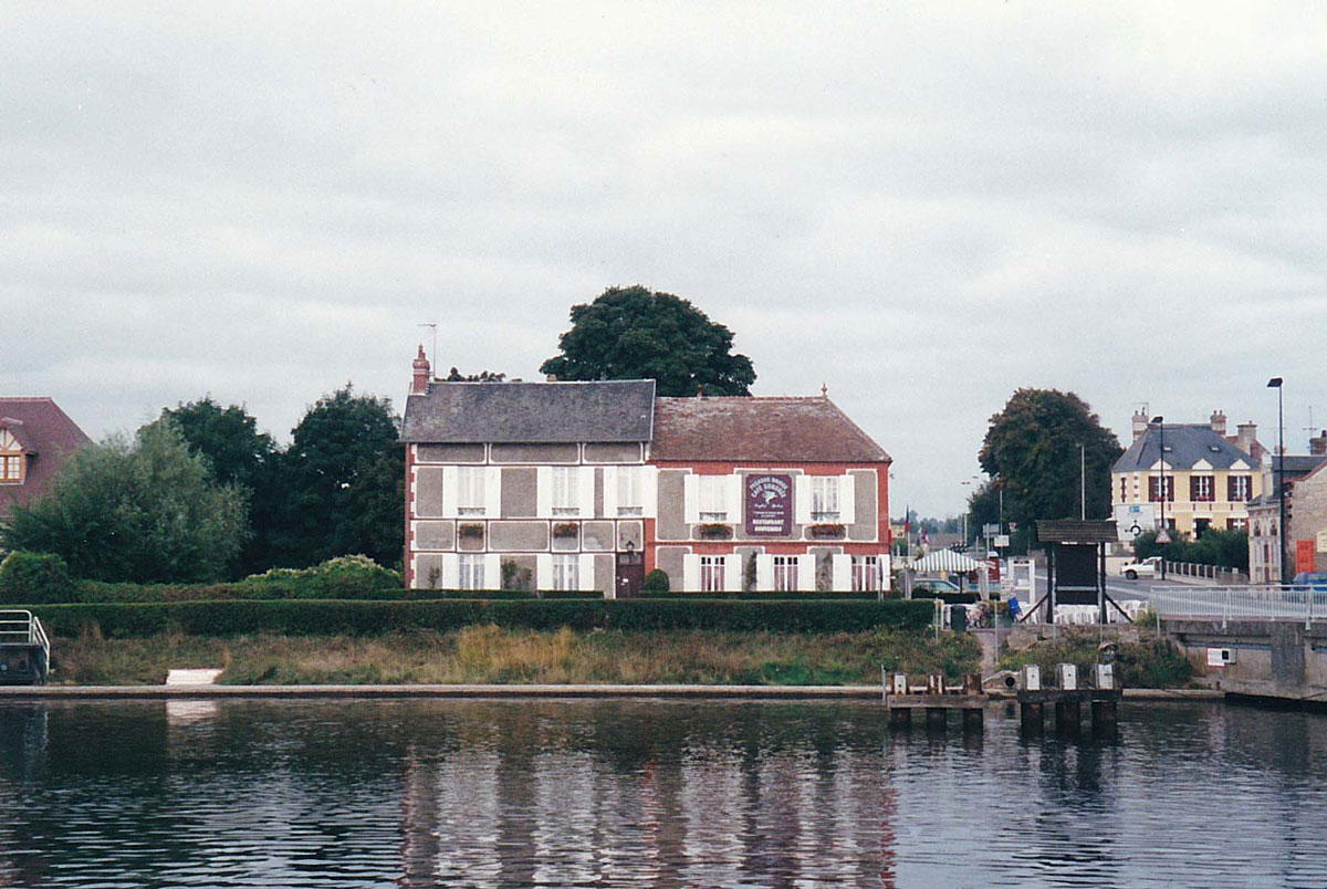
D-Day – Operation Deadstick and the Capture of Pegasus Bridge

D-Day - Operation Deadstick and the Capture of Pegasus Bridge

On June 6th 1944, Allied forces stormed the beaches of Normandy in the first action to liberate Western Europe from German occupation. Operation Neptune, as it was codenamed, is considered to be one of the most difficult amphibious invasions ever launched: Almost 160,000 troops crossed the channel that day, but the preparations were unbelievably complex involving many different separate secret operations.

For those who don’t know, or have perhaps forgotten, the liberation of Europe was going to begin with an attack on the northern coast of France in the Baie de Seine by Allied forces: American troops were given the task of landing on two beaches at the western end of the bay (codenamed Utah and Omaha), and on the eastern flank, Canadian troops were to disembark onto Juno, with the British coming ashore at Gold and Sword, but I’m going to start, not on the Normandy beaches, but slightly inland because this was where the first landings actually took place.

For the seaborne attack to have any chance of success it was imperative that the Atlantic Wall (the German defences that stretched around the European coastline) was made as ineffective as possible, and part of the plan was to drop airborne troops behind enemy lines in advance of the beach landings to minimise German counter-attacks.

Two American airborne divisions were flown in to pave the way for the assault on Utah and Omaha, and one British airborne division was used to support Gold, Juno and Sword.

Scenes in films such as The Longest Day and Saving Private Ryan show how the American Airborne divisions went about helping to secure the right flank, but this post centres around the British Airborne’s mission to secure the left flank.
Continue reading →

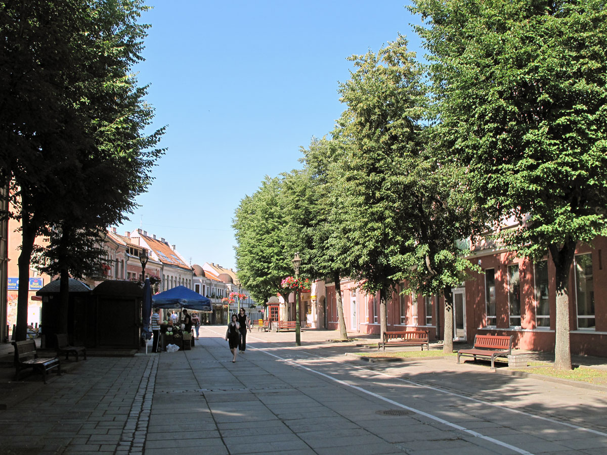
Kaunas – Lithuania’s Second City

Kaunas - Lithuania's Second City

When the low-cost airlines took off (sorry), it gave me the opportunity to visit some places that I’d always wanted to visit – and also some that I hadn’t; places such as Kaunas.

Kaunas was to be my first destination to the Baltic States, simply because it was the only place in that part of the world that I could fly to from my regional airport at the time. So, in the summer of 2012 I took off from Bristol not really knowing what to expect, so before I completely lose my marbles, here is an account of what I remember.

Kaunas is the second largest city in Lithuania with an urban population around the 400,000 mark, so it’s not surprising that we landed in the country’s second largest airport.

What did surprise me though was that it was so warm it was like arriving in Spain – and it was 10 o’clock at night.

I usually try to use public transport where possible, but on this occasion, I just jumped in a cab which took me directly to the hotel, which although it was called the Ibis Kaunas Centre, wasn’t quite in the city centre but convenient all the same.

The following morning, I was pleased to see the sun shining, and so after breakfast I didn’t waste any time in making my way past the Orthodox Church of the Annunciation to Laisves aleja.

Continue reading →

Originally posted 2019-09-08 17:02:22.

East Side Gallery and Oberbaum Bridge

East Side Gallery and Oberbaum Bridge

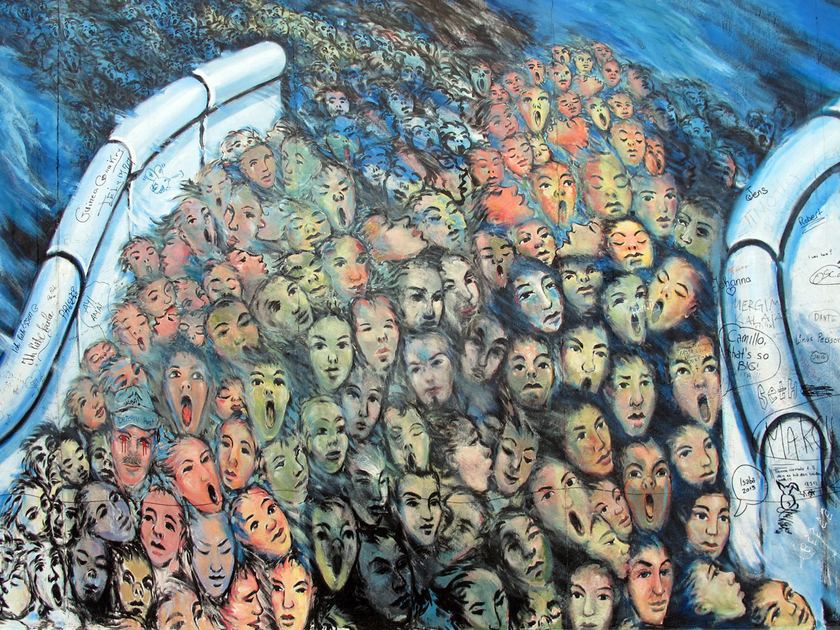
The section of the Berlin Wall that still remains between the Oberbaum Bridge and the Ostbahnhof on Muhlenstrasse is the longest open air art gallery in the world. In German it’s called the Kunstmeile, which in English translates as Art Mile.

The East-West border along here during the Cold War was the River Spree and this segment of the wall on the Eastern side was never subjected to the graffiti that was associated with the Western side. As if to make amends, when the wall came down this section was preserved and handed over as a blank canvas to artists from around the world to create this unique wall of art. Over a hundred murals were painted by artists from twenty-one different countries; some had political statements, some were artistic, and some were just mind-bending offerings.

These paintings were originally done in 1990, but by the time I first saw them back in 2003 they were well past their sell-by date and the area was a bit different to what it is now. In 2009 the artists were invited back to re-paint their originals. One of the iconic images was Dmitri Vrubel’s painting My God, Help Me to Survive This Deadly Love, a painting of Soviet and GDR leaders Leonid Brezhnev and Erich Honecker, locked in a fraternal kiss. The picture below shows how it appeared in 2013.

Continue reading →

Originally posted 2021-01-10 11:06:52.

Wandering Around Brest – Pt 3 How the City Became a Major Naval Port

Wandering Around Brest - Pt 3 How the City Became a Major Naval Port

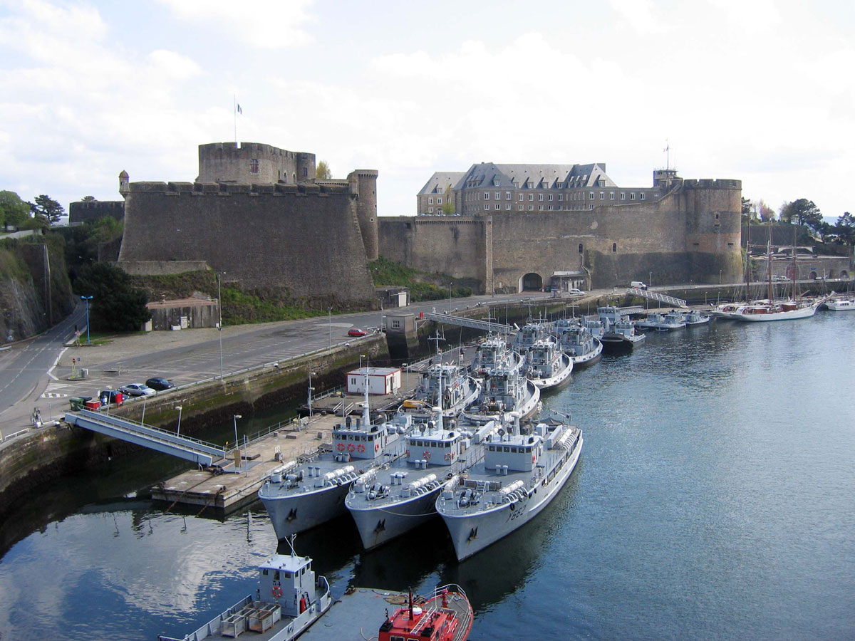
As I’ve previously mentioned, one of the reasons I came to Brest was to see how it compared to Plymouth as a naval port, and just like its counterpart across the channel, Brest suffered severe damage during WWII. Its heart was literally ripped out during the Battle for Brest in 1944, and therefore any reminders of the city’s past were bound to be few and far between, but after my boat trip around the Rade de Brest, a short walk up from the quay was the Chateau which was one of the few landmarks to survive.

With only one full day to explore the city, and the weather set fair, I really couldn’t afford to spend an excessive amount of time here, but to help make it easier for me, all the information was in French.

Continue reading →

Originally posted 2024-06-10 06:20:22.

The Forth Bridge and the Firth of Forth

The Forth Bridge and the Firth of Forth

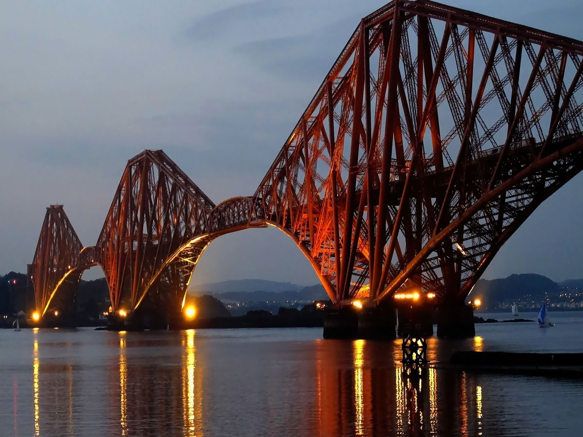
The Forth Bridge has to be one of Scotland’s most iconic landmarks, and is only around 10 miles from Edinburgh city centre.

Some people refer to it as the Forth Rail Bridge in order to distinguish it from the much later Forth Road Bridge, but it was never officially called that.

Both bridges, along with the new Queensferry Crossing, span the Firth of Forth between South Queensferry in West Lothian and North Queensferry in Fife, and just in case you’re wondering, the name Queensferry originates from the ferry that was established by Queen Margaret in the 11th century, and which continued operating right up until 1964.

Continue reading →

Originally posted 2018-12-09 10:41:14.

Newcastle Quayside

Newcastle Quayside

When the Roman Emperor Hadrian came to Britain in 122 AD he set about building his famous northern frontier wall between the Cumbrian coast and the North Sea, and at the eastern end he constructed a bridge and fort on the River Tyne known as Pons Aelius, or Hadrian’s Bridge.

The wall was later extended to Segedunum (now called Wallsend), and the fort at Hadrian’s Bridge has become the city of Newcastle-upon-Tyne.

After the Romans left, little is known about Anglo-Saxon Newcastle, which is surprising when you think that the great chronicler of the time, the Venerable Bede, was living only a short distance away on the other side of the river at Jarrow.

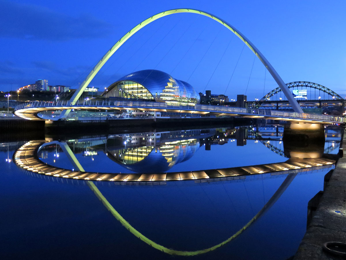
What we do know though is that the original Roman bridge was replaced, and that bridge too was replaced after a fire in 1248. Today, the site of all these bridges is occupied by another one – William Armstrong’s practical and wonderfully designed Swing Bridge of 1876. There are now seven bridges that span the river from this part of the city and this is definitely one of my favourites.

Continue reading →

Originally posted 2018-05-17 17:01:11.

Is Hull Really a ‘Crap’ Town? – Pt 3 Getting to Grips with Hull’s Maritime History

Is Hull Really a 'Crap' Town? - Pt 3 Getting to Grips with Hull's Maritime History

In Pt 2, we saw how the monks of Meaux Abbey created a port on the River Hull enabling them to export their wool to places like Belgium and The Netherlands, and even though King Edward I later acquired it for military purposes, the port of Kingston-upon-Hull also benefitted from the improved transport connections that were needed for his campaigns against the Scots. Since those early beginnings, Hull’s fortunes became inextricably linked to those of the port, and in this post I want to show how important the maritime trade was to this enigmatic city.

The late Middle Ages saw Hull’s trade expand beyond the Low Countries as cloth took over from wool as the main export. In return, fish was brought in from Iceland and Scandinavia, and materials needed for the local shipbuilding industry, such as flax, hemp, timber and pitch, were imported from the Baltic. What all this meant, was that by the late 17th century, Hull had become the third busiest port in the country after London and Bristol.

The 18th century saw the town grow rapidly as the Industrial Revolution created a surge in exports: The steelworks of South Yorkshire were providing the raw ingredients for production of high quality cutlery in Sheffield, and the increased output from the woollen mills of Yorkshire and cotton mills of Lancashire meant that the wharves on the River Hull were being stretched to their limit. Something needed to be done, and the answer came in the form of a series of docks that became known as the Town Docks.

Below is a map showing the city before the building of the Town Docks. On the western side of the River Hull is the medieval wall protecting the city, and on the eastern side is the castle and curtain wall protecting the port.

Continue reading →

Originally posted 2023-10-11 15:34:07.

Is Hull Really a ‘Crap’ Town? – Pt 2 The River Hull and How the Town Began

Is Hull Really a 'Crap' Town? - Pt 2 The River Hull and How the Town Began

Thanks to the person who couldn’t wait to have their Benson & Hedges fix this morning, it meant that the hour I thought I’d gained, had now been lost. Thankfully, other than a bit of stitch, I was none the worse for wear as we stepped out into the bitterly cold, but bright Yorkshire morning air – which this time didn’t include any flashing blue lights to hurry us along.

From the hotel, we walked up the ramp onto the Myton Swing Bridge where there were some great views of the River Hull below, not that I had any chance to take any photos of it, because Kay couldn’t care less how good the views were, she was definitely not hanging around in the cold waiting for me to take pictures. As she marched off without a clue where she was going, I had no option but to put the camera away and just console myself with the fact that the tide was out anyway.

The source of the River Hull is in the Wolds, not far from Driffield: It then weaves its way for around twenty five miles or so down to the Humber, which is where the majority of Yorkshire’s rivers end up. The map below gives a broad outline as to how at least eight of those rivers drain Yorkshire’s higher ground to join the River Ouse. At Trent Falls near Faxfleet, the Ouse is met from the south by the River Trent, and this is where it becomes the Humber. Although the Humber is often referred to as a river, it is in actual fact an estuary, but whatever you want to call it, the Humber has, over the centuries, been both an asset and a barrier to this part of England.

Continue reading →

Originally posted 2023-09-20 11:38:21.

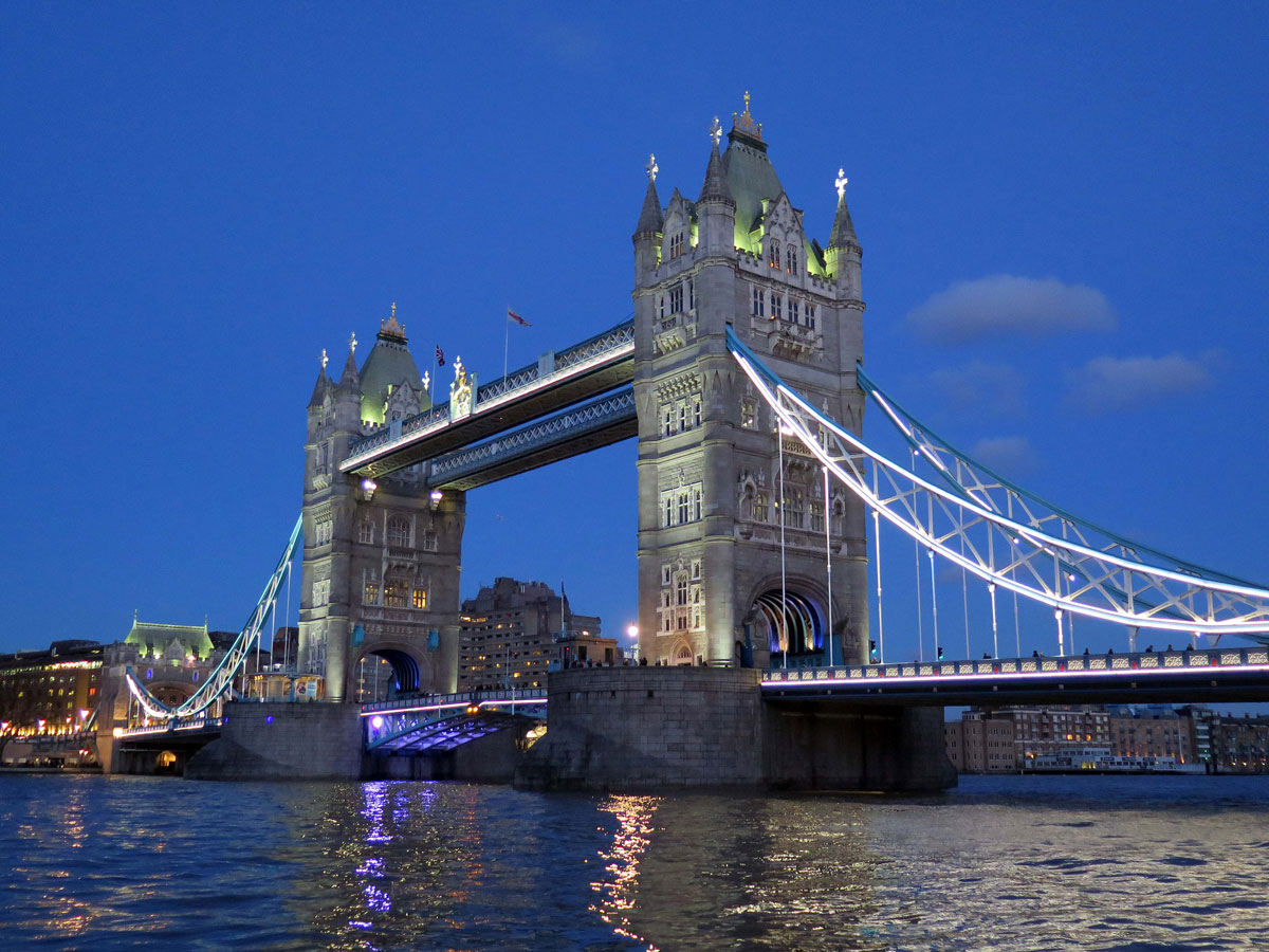
Tower Bridge

Tower Bridge

Some bridges have a great design and some are just practical, but what captures my imagination about Tower Bridge is its ability to achieve both.

40,000 people a day still use the bridge in one way or another, but ships passing underneath still have priority, and that’s around a thousand times a year: Even President Bill Clinton’s cavalcade on a state visit got split up when they didn’t time it right.

The need for another crossing downstream of London Bridge came about with the growth of London Docks.

The Industrial Revolution and the ever-expanding British Empire helped the burgeoning London Docks become the busiest in the world, and apart from providing access across the river downstream from London Bridge for the first time, the new Tower Bridge was going to have to allow shipping access in and out of the Pool of London.

Continue reading →

Originally posted 2018-10-19 16:33:18.

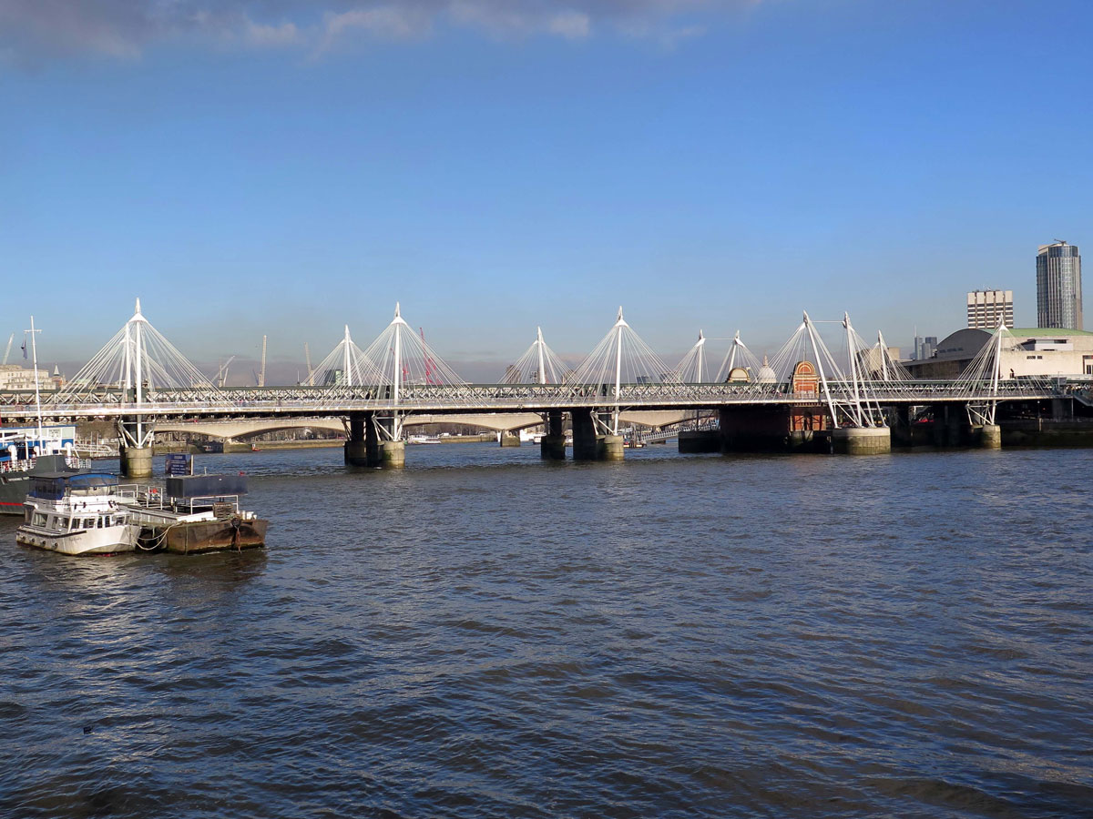
The Hungerford Bridges

The Hungerford Bridges


The first Hungerford Bridge was opened in 1845. It was a suspension footbridge designed by the famous engineer, Isambard Kingdom Brunel and named after the market which stood where the present day Charing Cross station is.

Competition from nearby Covent Garden saw the demise of the Hungerford market but the name has remained ever since. The same couldn’t be said for Brunel’s bridge however, because in 1859 the South Eastern Railway bought it and replaced it with a new railway bridge and station at Charing Cross. The resourceful Brunel took the chains from the old bridge and then re-used them in his construction of the Clifton Suspension Bridge.

The railway bridge was opened in 1864 and has been here ever since. It’s had a succession of footbridges alongside it over the years, and the latest were introduced in 2002 in recognition of the Queen’s golden jubilee.

The Golden Jubilee Bridges, to give them their official name, connect the Victoria Embankment with the Royal Festival Hall on the South Bank. The two bridges afford some great views both up and downriver and have become the busiest in London, and in my opinion, are an attractive and practical addition to the rather nondescript, but functional, railway bridge.

Collectively they’re known as the Hungerford and Golden Jubilee Bridges, but apart from being a mouthful, I think it’s easier to just remember them as the Hungerford Bridges.

Continue reading →

Originally posted 2018-02-02 10:53:28.

Westminster Bridge

Westminster Bridge


Until the first Westminster Bridge was built, there were only two bridges crossing the Thames in London – the old London Bridge and the new Putney Bridge, and to cross the river from Westminster to Lambeth you had to either pay the ferryman to take you across, or wait for low tide when it could be forded.

When the first bridge was proposed, the ferrymen got the idea blocked, but when they were paid off and enough lottery tickets were sold, the Swiss engineer Charles Labelye, was able to start work on the new river crossing.

Construction started in 1739 and finished in 1750 but unfortunately it didn’t last as long as it was hoped for and a hundred years later a new bridge was deemed necessary.

Continue reading →

Originally posted 2017-10-20 16:34:33.

Camden Town

Camden Town

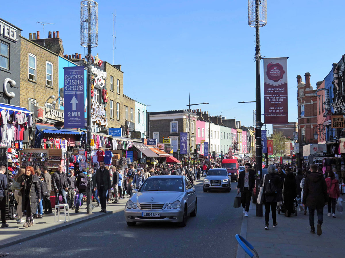
Not to be confused with the Borough of Camden, Camden Town is known for its markets, music venues and alternative cultures, it’s a place that attracts younger people with a zest for a more unorthodox style of living. If you’re into Punk, Goth. or Emo, then you’ve come to the right place.

Camden is named after Charles Pratt, the first Earl of Camden who took his title from Camden Place, his estate near Chislehurst in Kent (now part of the outer London Borough of Bromley).

Originally a part of the manor of Kentish Town, the Earl acquired the manor through marriage, and in 1791 started to change its appearance from a quiet, rural village on the road north out of London towards Hampstead, by granting leases for houses to be built.

Chalk Farm Road and Camden High Street are the main roads through Camden Town which still form part of that very same route, and at the Camden Town Tube Station junction is a pub called the World’s End, which was a rural hostelry as far back as 1690, but these days is an ideal place to go if you you’re looking to get a headache.

Continue reading →

Originally posted 2018-08-17 10:59:17.

The Southbank

The Southbank

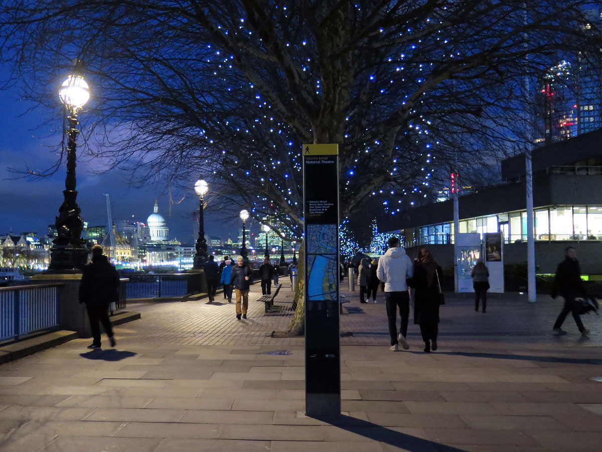
The Southbank is not a defined area, but for this review it refers to the riverside area south of the river between Westminster Bridge and Lambeth’s border with Southwark at Bankside.

It may be difficult to imagine now, but this area known as Lambeth Marsh, was virtually undeveloped before the 19th century. The wet terrain was hardly a prime location for the type of development that had taken place across the other side of the river, but during the Victorian era, the shallow bank and mudflats became an asset for industries such as printing works, coal wharves, dye works and breweries, to name just a few.

The first half of the 20th century wasn’t kind to Lambeth with factories either in decline or being destroyed by WWII bombs, and so when it was suggested that a Festival of Britain would have its centrepiece here, things started to take a different direction.

The festival was supposed to be a national exhibition celebrating British achievements, but it was to become more than that. The ravages of WWII had left the country in need of a lift from austerity, and so entertainment and culture were deemed just as important as science and technology, and so various forms of entertainment were included when the festival opened on 4th May 1951.

The Southbank site was only ever going to be temporary and most of it was demolished after the festival was over five months later, but the Royal Festival Hall remained.

Continue reading →

Originally posted 2018-11-02 14:00:36.

London Bridge City and The Shard

London Bridge City and The Shard

London Bridge City didn’t exist forty years ago. Actually, that not’s strictly true – it’s just that it wasn’t called that. It was probably the marketing men that came up with the name for this riverside location on the south bank of the river between London Bridge and Tower Bridge.

This must have been a developer’s dream after Hay’s Wharf closed down in 1970. London Bridge, if you remember, was the first ever river crossing to connect London from the south, and even after William the Conqueror became King of England in 1066, the former Anglo-Saxon religious centres of Canterbury and Winchester still had a strong influence on how the country was run.

Under the circumstances, it’s therefore quite understandable how this area came under the ownership of several leading religious figures who wanted to live next to the river, from where they could easily sail up to Westminster.

Continue reading →

Originally posted 2020-09-09 16:17:09.

Bankside

Bankside

The Bankside area of Southwark roughly equates with the riverside between Blackfriars Bridge and London Bridge.

The distance between the two bridges is about a mile and there are not only plenty of things to see, but also a fair number of pubs to hold you up along the way, and if you stop at all of them you’ll need holding up yourself.

Next to Blackfriars Railway Bridge is the Founders Arms, which although modern is in a great location overlooking the river, but as this isn’t a pub crawl I’ll assume that you’ll want to move straight on to the first real point of interest which is the Tate Modern.

Housed inside the former Bankside Power Station, this gallery of modern art won’t appeal to everyone, and depending on your taste in art you can either spend the best part of a day in here or hardly any time at all. Either way, you should go in and take a look, not just because it’s free, but you can always take the lift up to the viewing level of the Blavatnik Building for great views over the City of London and beyond.

Outside the river entrance to the Tate Modern is the Millennium Bridge. No prizes for guessing where it got its name from, but you may be tempted across it because on the other side of the river is St Paul’s Cathedral, but as tempting as it may be, it’s best left for another time.

Continue reading →

Originally posted 2018-03-21 08:15:44.

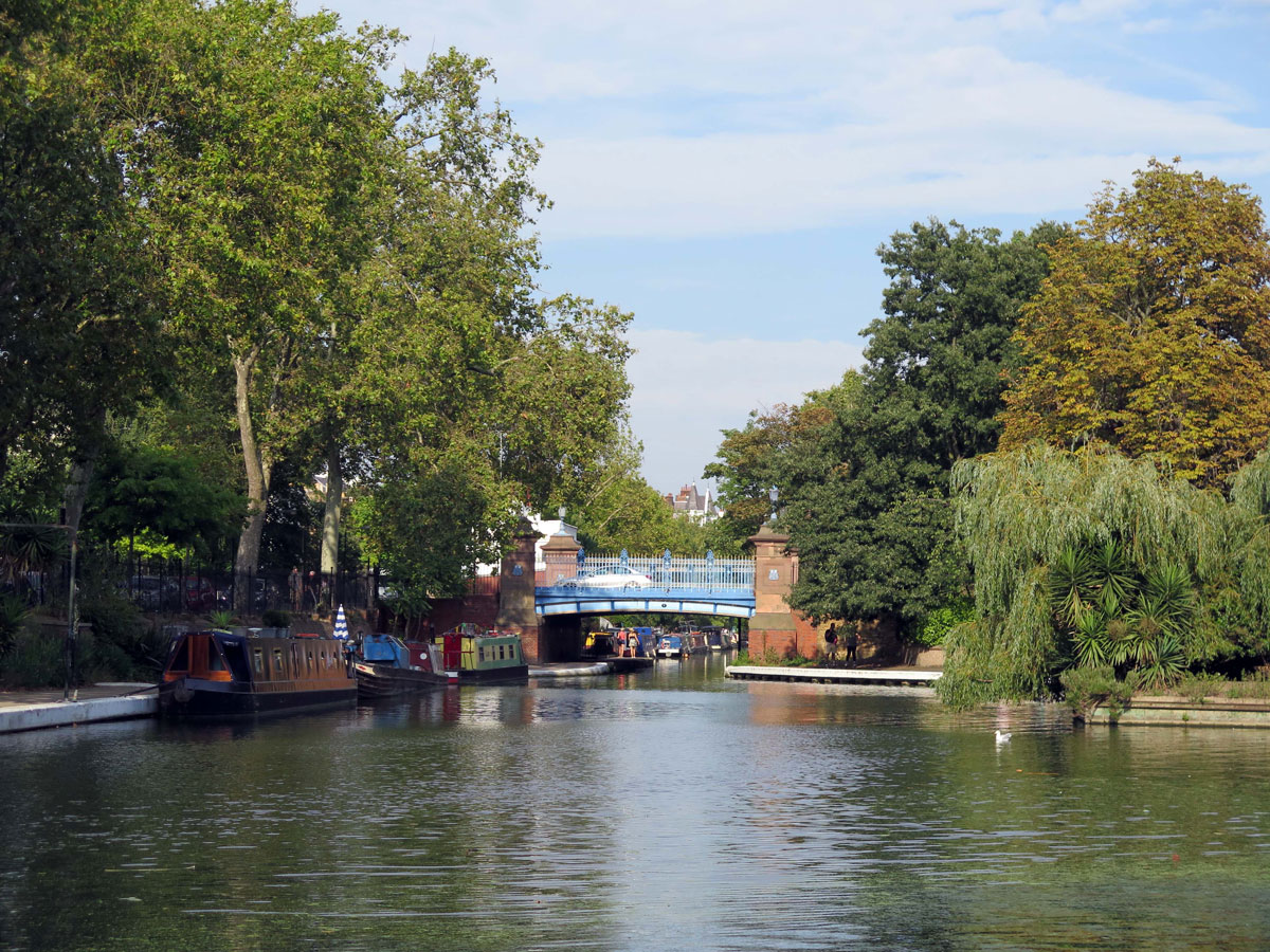
Paddington Basin and Little Venice

Paddington Basin and Little Venice

Paddington is well-known for its railway station, but perhaps not so well known for its canal, but things are changing.

The easiest access to the canal basin is from the far end of the station next to the Hammersmith & City (H&C) underground, but until the Waterside Regeneration project got under way there would have been no access here at all.

It was different back in the19thc though when the area would have been a hive of activity, a time when goods were transported around the country through a large network of canals. Paddington provided an ideal location for a canal terminus for several reasons, but principally because the area was flat and had easy road connections into central London.

Paddington Basin was opened in 1801 at the end of the ‘Paddington Arm’ of the Grand Union Canal, whose main line still runs for 138 miles between Birmingham and London (Brentford). There are several arms that lead off from the main line including this one which stretches for 13½ miles between Bulls Bridge at Hayes and Paddington Basin.

The coming of the railways also eventually meant the decline of the canals. Goods could be transported more cheaply by rail than by barge, but what happened to the canal system also happened to the rail network when it became cheaper to transport goods by road rather than rail, and by the 1980s Paddington was left with a desolate wasteland of a redundant canal and an obsolete goods yard.

Continue reading →

Originally posted 2018-05-02 16:18:47.

Blackfriars

Blackfriars

To most people these days, the name Blackfriars probably means the railway and underground station, but the history of this small area in the south-west corner of the City of London has a history that goes back much further.

 As far as I’m aware, there are no official boundaries to define the area that we know as Blackfriars today, but I have seen a map that suggests it stretches from Fleet Street/Ludgate Hill to the River Thames, and from the Mansion House/Garrick Hill to Temple Avenue/Bouverie Street. That may be the modern interpretation of Blackfriars, but it would have been different when the Dominican Friars founded their priory here back in 1278.

For the uninitiated, and that includes me, the word ‘Friar’ is an anglicized version of the French word Frère meaning brother, and it shouldn’t come as any great surprise to learn that these Dominican Blackfriars were distinguished from the Carmelite Whitefriars and Franciscan Greyfriars by the colour of the cloaks that they wore.

The Blackfriars are a Catholic order founded by St Dominic in Toulouse in 1215, and in 1223 they established a priory in Holborn before moving to their new site between the Thames and Ludgate Hill.

Edward I gave them permission to build this new priory near to where the River Fleet entered the Thames. He also allowed them to re-build the city wall around it, and from a humble house and church it expanded to include a refectory, cloisters, a hall, library, stables and garden: In fact, it didn’t only become an ecclesiastical home for the friars, but also an important centre for state affairs with Parliament meetings and state visits from foreign dignitaries.

Continue reading →

Originally posted 2018-12-28 12:42:15.

Cumberland Basin

Cumberland Basin

I deliberately kept my previous article about Bristol’s Floating Harbour short and sweet for two reasons: The first one being that I didn’t want people to immediately lose interest in a topic that is important to the city’s heritage, and the second one is because my name isn’t Isambard Kingdom Brunel.

All the same, I’ve decided to include some information about the Cumberland Basin for anybody who would like to know a bit more about how this important part of the system operates.

The Floating Harbour project was awarded to William Jessop, an engineer from Devonport, who started work on the scheme in 1804. It took 5 years to build and was officially opened on the 1st May 1809.

For the Cumberland Basin, his plans included two entrance locks from the river into the holding basin, and a junction lock between the basin and the Floating Harbour. Why it was called Cumberland Basin I’ve no idea, but it was used as a lock when there were a lot of ships sailing in and out of the harbour.

Continue reading →

Originally posted 2019-01-18 17:17:38.

The Floating Harbour

The Floating Harbour

Bristol’s Floating Harbour doesn’t float, so why is it called that? It takes a bit of explaining, but to understand what the Floating Harbour is will help to explain why Bristol’s maritime history was so important to the city for so long.

The port developed approximately 8 miles from the mouth of the River Avon during the 11th century, which at the time would have had the distinct advantage of being in a very sheltered location. Not only that, the River Severn has one of the highest tidal ranges in the world, which meant that the fast-flowing tide could bring ships swiftly up the Severn and the Avon to the protection of Bristol’s inland harbour.

For centuries it worked well, but as the ships got bigger things became a bit more complicated. Anyone who has witnessed the ebb and flow of these rivers will know only too well how quickly the tide can go out as well as come in, and the bigger the ships became, the more often they got stuck in the mud – and there’s plenty of that here.

Continue reading →

Originally posted 2019-01-17 07:49:03.

The Centre and St. Augustine’s Reach

The Centre and St. Augustine's Reach

I don’t think too many Bristolians would disagree that the city’s focal point is ‘The Centre’. It’s where people have traditionally met up, maybe for a ‘Blind Date’ outside the Hippodrome or somewhere. It’s a good location for that sort of thing because if your intended partner for the evening didn’t quite live up to your expectations, then you could always dodge the traffic, disappear into the woodwork, and try your luck elsewhere – or so I’m told.

London has Piccadilly Circus; Glasgow has St. George’s Square and Bristol has The Centre! Not the most innovative name for a focal point I’m sure you would agree, but before you start thinking that it’s just an easy way to name Bristol’s city centre, the name is actually an abbreviation of the Tramway Centre that used to operate from St. Augustine’s Parade, and it’s not the centre of the city anyway.

Continue reading →

Originally posted 2020-09-01 12:51:40.